
Epic KOM (Watopia) Zwift Segment Details
Key Details
- Length: 9.5 km (5.9 miles)
- Elevation Gain: 415.7 m (1,364‘)
- Average Gradient: 3.9%
- Found in Watopia
- In-Game Name: Epic KOM
- Strava segment
- ZwiftPower Leaderboard
When released in March 2016, the Epic KOM was the longest climb in the game. And though it feels less “epic” nowadays up against climbs like Alpe du Zwift and Ventoux, it’s still one of the biggest climbs in game.
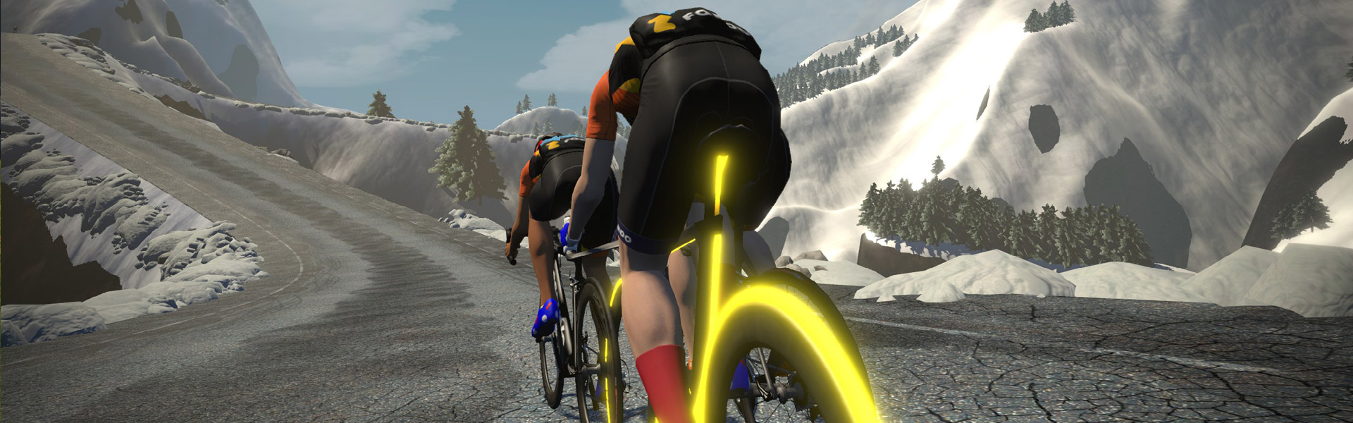
Much like the Epic KOM Reverse, this climb starts near sea level with a pitchy, winding ride up to a bridge. The Epic KOM features a beautiful towering suspension bridge, then the climb “proper” follows.
Near the top the climb turns into a bit of a rollercoaster as you ride across the ridge. See if you can spot a hot air balloon before it’s time to dig in for the final push to the line! You won’t find any spectators at such a high altitude, but an ibex awaits to greet you at the finish.
Routes Featuring this KQOM
| Route | Length | Elevation | Lead-In |
|---|---|---|---|
| Big Loop | 42.1 km (26.2 miles) | 661 m (2,169‘) | 0.5 km (0.3 miles) |
| Bigger Loop | 52.7 km (32.7 miles) | 691 m (2,267‘) | 0.5 km (0.3 miles) |
| Four Horsemen | 88.7 km (55.1 miles) | 2113 m (6,932‘) | 0.5 km (0.3 miles) |
| Gran Fondo | 97.3 km (60.5 miles) | 1196 m (3,924‘) | 0.5 km (0.3 miles) |
| Medio Fondo | 72.9 km (45.3 miles) | 1010 m (3,314‘) | 0.5 km (0.3 miles) |
| Mountain Route | 29.6 km (18.4 miles) | 682 m (2,238‘) | 0 km ( miles) |
| Muir and the Mountain | 33.9 km (21.1 miles) | 793 m (2,602‘) | 5.1 km (3.2 miles) |
| Power to the Tower | 43.8 km (27.2 miles) | 1494 m (4,902‘) | 0.9 km (0.6 miles) |
| Quatch Quest | 46.7 km (29.0 miles) | 1710 m (5,610‘) | 0 km ( miles) |
| Shorelines and Summits | 46.1 km (28.6 miles) | 776 m (2,546‘) | 4.1 km (2.5 miles) |
| The Mega Pretzel | 107 km (66.5 miles) | 1640 m (5,381‘) | 3.7 km (2.3 miles) |
| The Pretzel | 72.9 km (45.3 miles) | 1362 m (4,469‘) | 0 km ( miles) |
| The Über Pretzel | 128.3 km (79.7 miles) | 2335 m (7,661‘) | 0.5 km (0.3 miles) |
| Three Sisters | 48 km (29.8 miles) | 897 m (2,943‘) | 0 km ( miles) |
| WBR Climbing Series | 43.4 km (27.0 miles) | 1118 m (3,668‘) | 0 km ( miles) |
| Zwift Medio Fondo 2022 | 79.2 km (49.2 miles) | 922 m (3,025‘) | 0.2 km (0.1 miles) |
Leader’s Jersey
A word about accuracy: as much as possible, we’ve used Zwift’s in-game numbers for the segments listed. Strava data may differ slightly.
This is the third time that I do this ride. As someone else mentioned elsewhere, this is a relentlessly boring ride. It is just up, up and up, until the very end.Alpe du Zwift is harder, but at least it is interesting. Oh well, it is still fun to climb. 😎
Up. Up and up.
kind of the point of a climb. No?
Yes and no. Yes, going up, up and up is the reason for climbing. But my point was that there are factors, such as scenery, trees, views, etc., that make the climb easier and more bearable. I live in So. Cal., one of my favorite climbs is Gibraltar Rd. The average gradient is 7.3%, the climb is almost ten miles long with 2,900 feet of climbing. The scenery, including amazing views of the Pacific Ocean, make that climb almost a pleasure.
Alpe du Zwift is only up up and up. This one has actually up and downs. The scenery up on top – the ridge road is my favorite scenery in Zwift. I have to disagree with you on this.
It’s individual
OK
Happy New Year
Was this segment changed recently with the addition of The Grade? I thought that almost as soon as you come out of the tunnel you start some rollies before the final short climb to the top but now the rollies are a distance away from the tunnel. Did they just change the scenery or did they change the actual route?
Did they just take away the 2nd tunnel? I swear it looked very different.
Didn’t change the route. Scenery is different, that’s it. May have shortened the tunnel or something…?
Yeah I think there were 2 tunnel segments and now there’s only 1. I used to use the 2nd tunnel segment, which I think is now gone, as a final push before a slight reprieve before the final climb. Gone now.
Did anybody notice that the (verified) Strava segment has an inaccurate profile? It is shown with a 968m elevation gain, and -1% average gradient. Eric, are you the one that creates these segments? If not, then I understand if it’s outside your control!