
“Neon After Party” Route Details (Makuri Islands)

This race route takes you on a flat route through the perma-dark streets of Neokyo, before heading up the Rooftop KOM for a spicy finish!
Route Basics
Length: 16.15 km (10.0 miles)
Elevation: 141m (463′)
+1.15km (0.7 miles) lead-in with 3m (10′) elevation
Map: Makuri Islands
ZIMetrics
Rating: 9.0/100 🛈
Time Estimates 🛈
4 W/kg: 26 minutes
3 W/kg: 29 minutes
2 W/kg: 36 minutes
Start & Finish
Begins from Harbor Start pens, ends at Rooftop KOM.
Format: Point-to-Point
Ride Achievement Badge: 340 XP
Run Achievement Badge: none
Strava Segments
Bike Selection
This route is mostly flat or downhill, so aero rules the day!
Route Description
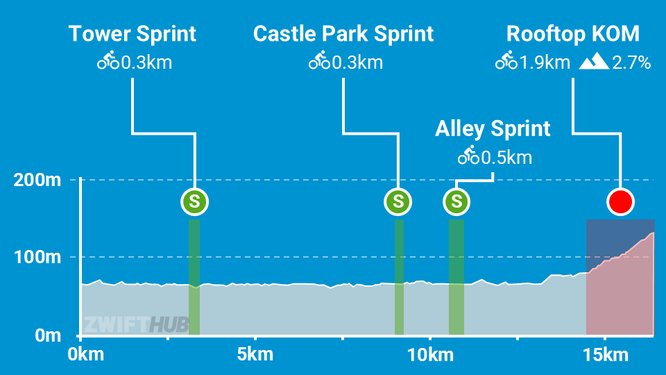
Route profile by ZwiftHub – the place to plan and track your route achievements!
Beginning from the Harbor start pens, riders proceed toward the Alley Sprint whose arch is the official start line for the route. The first 13 kilometers of this route are quite flat as we make our way through the many twists and turns of Neokyo’s city streets, so it may be easiest to think of this route as comprising three loops in a sort of three-leaf clover pattern.
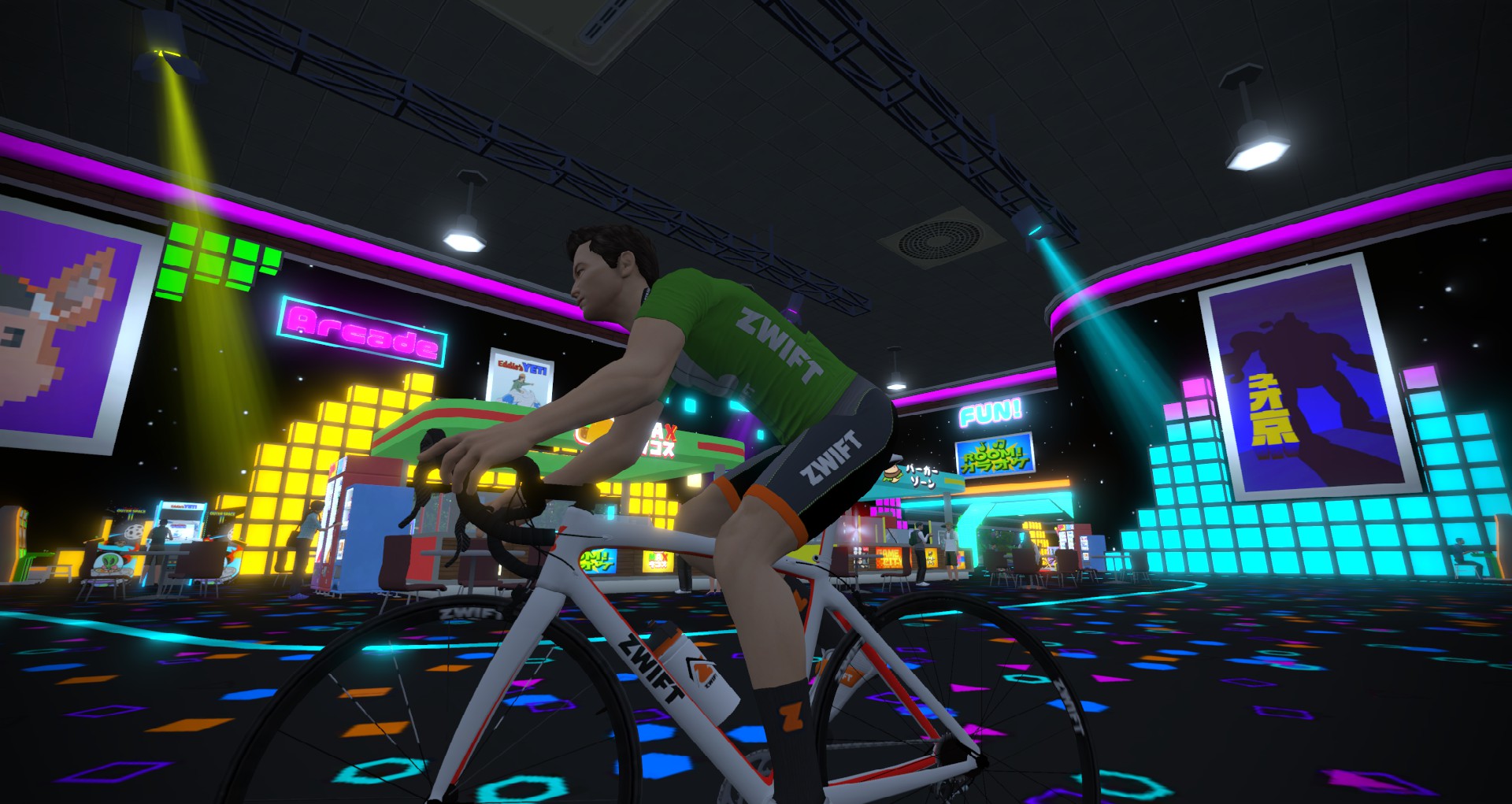
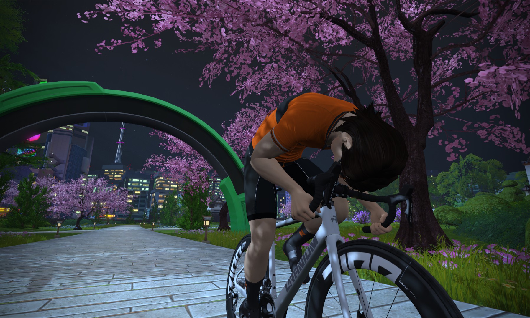
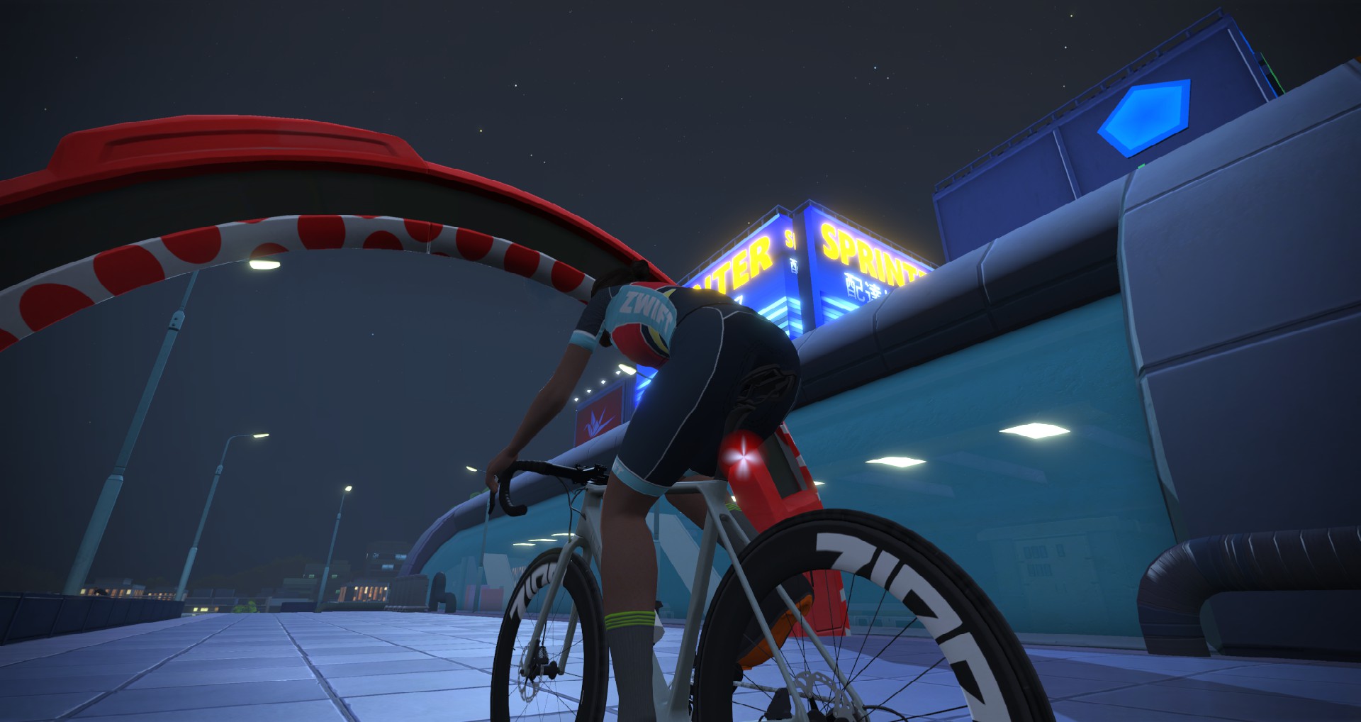
First, we head over to the Tower Sprint Reverse (first loop), then around through the arcade (a second loop), then finally cross over to the Castle Park Sprint Reverse and a second Alley Sprint (the third loop).
Once these three loops are completed, we proceed up the ramp to the Rooftop KOM. This is where the big efforts will happen in a race. Hope you saved some watts!
When will this route (and the other new one) be listed in Zwift Companion?
Thanks for the amazing work you do with all of the routes and info. It is the most helpful and interesting information on Zwift.
As of today, they are appear to be there (on mine anyway)
The elevation listed for this is wrong. I was at 88m before I even got to the hill. Ended with 141m.
Really? That’s… odd. That seems like way too much elevation for what this route is. I’ll have to have my bot ride it to double-check.
Hmm, this is suspiciously a factor of 1.6 which reminds to the mile/km relation.
Why don’t you Americans not come the system of the rest of the world?
We don’t need feed anymore to measure relations like 1 foot is 27.5 fingernails or 35.3 nose lengths 😉
1 nanometer = 150 fantastillion Trumps. Or vice versa.
(new official American measure for everything 😎)
The rest of the world including all scientists use the metric system SI.
Btw: today Mar, 23. it is still 141 meters in Zwift.
Your bots cheat. My legs are right.
Don’t lump all Americans into the same bucket. As a 68-year-old stiff, I’ve been advocating for the SI system for 30 years. Nothing worse than working on a vehicle back in the 80s and 90s that has a combination of SAE and metric.
Also, I do use the metric as it affords more extra points sooner should I wanna continue after a ride/race to level up to an even kilometer.
Did this route today on demand.Can confirm it was 141m.Around 85/86m before the Rooftop Kom.
I’ll consider that confirmation, and update above…
Does anyone know if this route will loop back around after completing course?
Just finished the route (60 min ride) and I kept circling on the Rooftop KOM only after passing the finish line.
As someone relentlessly punished by Zwift’s idiotic descent algorithm for lighter riders, I question, under Bike Selection, “… mostly flat or downhill …”.
What are you questioning exactly?
i think it’s the comment in the ‘bike selection’ box….
I realize that’s what I wrote in bike selection, just not sure what he’s questioning… the route IS mostly flat or downhill.
Anyone knows what happens on group rides once the route is completed? Someone here said they continued on rooftop KOM but I wonder if it keeps everyone together or if half take another turn as has been the trend with Zwift non-looping routes. Looking to pick this for a 60 min group ride.
At the first intersection after the route ends, each rider will be randomly assigned a turn direction and the group will split up. Same for every subsequent intersection.