Zwift has announced the Giro di Castelli, a 3-stage event happening this weekend. Official Zwift stage events are always popular, so expect big groups!
Is it a race? Zwift says no, but there will be plenty of riders treating each stage as a race. Find a group riding at your pace and enjoy the challenge and camaraderie.
Groups and Times
Each stage has 5-6 event times to accommodate everyone’s schedule (see schedule). Additionally, riders must select a group when signing up for each stage. This dictates which route you ride:
- A Group: long distance, men and women
- B Group: short distance, men and women
- C Group: short distance, women only
Unlocks
There are three different Giro di Castelli kits, one for each stage. You will unlock each kit upon completing each stage. Here’s a preview:

Stage 1: Bologna
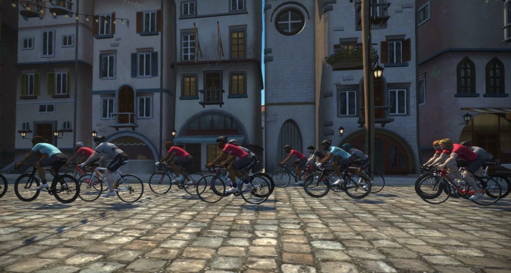
It’s a Giro, so it’s fitting that we start in Bologna, site of the Giro d’Italia prologue time trial stage in 2019.
- A Group (2 laps): 24.6km (15.3 miles), 495m (1627′) elevation. Note: 2 laps on Bologna means you ride up to the finish line, back to the start, then up to the finish once more.
- B and C Groups (1 lap): 8km (5 miles), 230m (757′) elevation
While this stage is on the Bologna TT course, it doesn’t appear to be a TT event. We recommend finding a bike frame and wheelset that lets you climb quickly because that’s where this course really gets challenging!
Stage 2: Watopia Flat (Reverse)
This stage is nice and flat, but that doesn’t mean it will be easy! Find a pace you can manage, and use the draft to conserve energy.
- A Group (4 laps): 41.2km (25.6 miles), 216m (708′) elevation.
- B and C Groups (2 laps): 20.6km (12.8 miles), 108m (354′) elevation
Stage 3: Epic KOM
The Queen Stage of this tour, stage 3 has each group going over the Epic KOM. The B and C groups get the added joy of ascending to the Radio Tower!
- A Group: 1 lap of Big Loop route – 42.4km (26.6 miles), 651m (2175′) elevation
- B Group: 1 lap of Mountain route – 29.5km (18.3 miles), 671m (2201′) elevation
- C Group: 1 lap of Mountain 8 route – 32km (19.9 miles), 677m (2221′) elevation

