“Makuri 40” Route Details (Makuri Islands)
The longest route in Makuri Islands when it launched in November 2022, Makuri 40 covers major parts of all three sections: Yumezi, Neokyo, and Urukazi.
The longest route in Makuri Islands when it launched in November 2022, Makuri 40 covers major parts of all three sections: Yumezi, Neokyo, and Urukazi.
Route Basics
Length: 40.2 km (25.0 miles)
Elevation: 308m (1,010‘)
+0.1km (0.1 miles) lead-in with 9m (30‘) elevation
Map: Makuri Islands
ZIMetrics
Rating: 19.8/100 🛈
Time Estimates 🛈
lead-in + first lap
2 W/kg: 79 minutes
3 W/kg: 64 minutes
4 W/kg: 58 minutes
Start & Finish
Starts and ends at a virtual banner just uphill from Yumezi's castle start pens.
Achievement Badge: 800 XP
Strava Segments
Bike Selection
While there are decisive climbs on this route, they are short and not steep, so your most aero bike will be your best performer. See Fastest Bike Frames and Wheels at Each Zwift Level >
Route Description
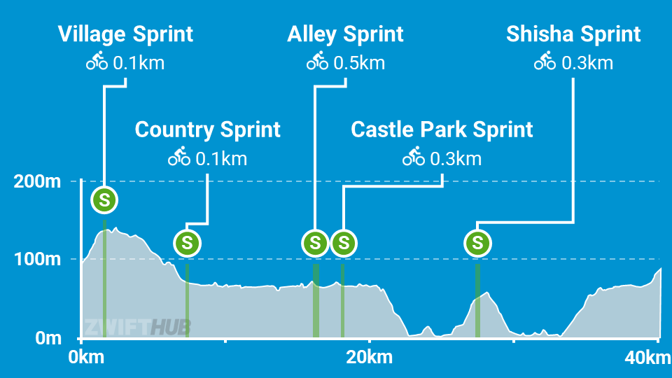
Route profile by ZwiftHub – the place to plan and track your route achievements!
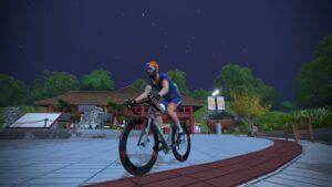
The first half of this route takes place in Yumezi and Neokyo. You begin at the Yumezi castle start pens, riding uphill to the Castle and hitting the little-ridden Village Sprint Reverse before making your way over to the Fishing Village and descending through Village Onsen to the Country Sprint Reverse.
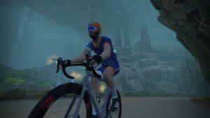
The road is flat and fast through the Yumezi countryside, taking you to the dirt road into Neokyo Tunnel and into the city’s permanight. Here you’ll take on the Alley Sprint Reverse and Castle Park Sprint before heading out of town over the bridge across Neokyo Harbor and entering the cavern connector road. From this direction you’ll be flying through the cavern, since it averages -2.7% gradient. Watch out for bats!
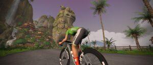
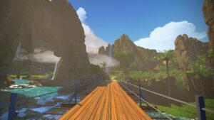
Once you’re back in the sunlight it’s time for a counter-clockwise circuit of the Urukazi islands, including a climb up to the Shisa Sprint Reverse. After Mech Isle you’ll turn left and begin you climb up the slot canyon connector road back to Yumezi, where you’ll enjoy a flat lead-in to what turns into a short uphill finish. (The route begins and ends at a virtual banner just uphill from the start pens.)
