
“Kappa Quest Reverse” Route Details (Makuri Islands)

Introduced two months after Yumezi’s launch, Kappa Quest Reverse is simply the reverse version of Kappa Quest.
Route Basics
Length: 9 km (5.6 miles)
Elevation: 139m (456′)
+5.1km (3.2 miles) lead-in with 131m (430′) elevation
Map: Makuri Islands
ZIMetrics
Rating: 9.6/100 🛈
Time Estimates 🛈
lead-in + first lap
4 W/kg: 25 minutes
3 W/kg: 29 minutes
2 W/kg: 38 minutes
Start & Finish
Format: Loop
Ride Achievement Badge: 180 XP
Run Achievement Badge: none
Leaderboard Segments |
| Temple KOM Reverse (1.9km, 3.5%) |
Strava Segments
Bike Selection
A gravel bike will give you the most balanced advantage here. Choose a good climber!
Route Description
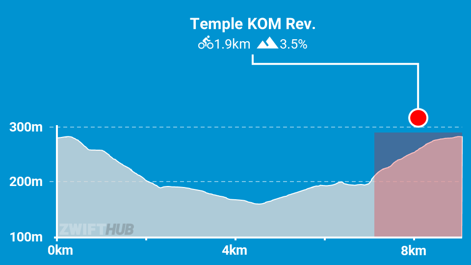
Route profile by ZwiftHub – the place to plan and track your route achievements!
This route has very little flat road to speak of. Your ride begins with a long lead-in up to the Mystical Tree. This takes you up the Temple KOM reverse, meaning you’ll do a fair amount of work before the actual route even begins!
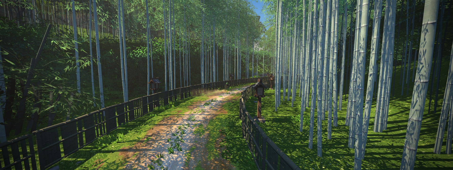
The Kappa Quest Reverse route starts at the KOM banner inside the Mystical Tree. Descend through the jungle, and when you get to the bamboo forest you know you’re almost to the end of the dirt descent. The paved road continues downhill, though, and you don’t start going up until you hang a left onto the dirt road up through the Golden Forest.
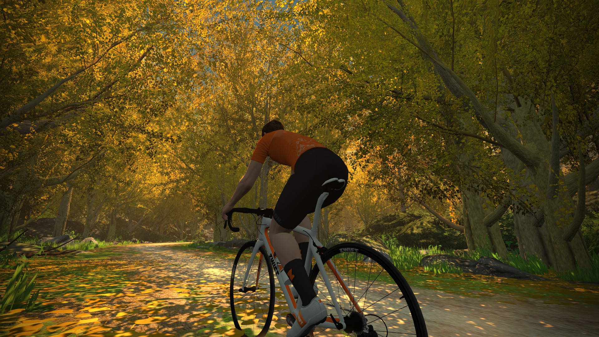
Enjoy the beautiful riverside trail, then turn onto the pavement once more to make your way down to the Castle Area, where you’ll turn left onto the dirt once again to start climbing the Temple KOM reverse. The route ends at the Mystical Tree.
[wpd-tenor full=’25a350ef5b99e8a384fbd3d07f429a02/tenor.gif’ preview=’db5fadd56abe5a7af3b5cd9b18fa785d/raw’ width=’384′ height=’384′]
I’m confused. Is there a long lead-in, like it says in the first paragraph, or no lead-in, like the Route Basics says?
Very observant. We’ve actually reached out to ZHQ to answer this very question, since the in game map shows a lead in, but the actual route awards you the badge without a lead in. It’s unclear which is which at this point! But we’ll update this post once the truth is known.
I rode the Kappa Quest Reverse tonight (11 Aug 2021). It was very confusing. I rode the lead in to the top of the first climb, then went around and climbed the hill again. The total for the ride, according to Zwift was 8.76 miles, with 885 of climbing. According to your profile table, I should have gone 12 miles. Your map shows the route as 8.8 km, not 8.8 miles. I think that your map and the data table do not have the same information, and the map is what is actually correct. I really enjoy your website. Don’t feel too bad about the error. Even NASA sometimes forgets to convert from metric to English units.
The route details would be even better if they had an approximate completion time against a few wkg ie 25 mins at 2.5wkg etc 🙂
Most of the routes have a BestBikeSplit link on them – although the Makuri routes do not. This lets you estimate time for a given body size and wattage…
https://www.bestbikesplit.com/zwift-routes
You guys have outdone yourselves with the Makuri Island routes. Extraordinary sights and sounds. Thanks!
This route description has the wrong stats.
It says:
Length: 14 km (8.7 miles), Elevation: 140m (459‘),
+5.1km (3.2 miles) lead-in with 130m (427‘) elevation.
This “length”, however, includes the lead-in, so it’s wrong to indicate that the lead-in of 5 km comes in addition.
The length of the route itself (i.e. each lap) is 9.04 km and 132m elevation gain according to the Strava segment. The lead-in is about 5.0 km and 127m elevation gain.
In total this becomes 14 km with 159 m elevation gain, but you usually don’t have the totals in your descripion 🙂
…this may have given the wrong “ZI time estimates” as well. At least I don’t see any other reason for the time estimate to be nearly 50% higher on Kappa Quest Reverse than on Kappa Quest.
You are precisely right! Changed above. My elevation numbers don’t quite match yours, though – I took mine from this race: https://www.youtube.com/watch?v=fUYPSruOA4E
Great, thank you!
For the route itself, I took the elevation gain number listed in the upper left corner at the Strava segment page, so not from any particular ride (but I’d guess that segment was created by you). https://www.strava.com/segments/29009500
For the lead-in I took it from the segment page for the «Valley to Mountain Top» segment. https://www.strava.com/segments/29559312
Yeah, the Strava stats for segments don’t always match in-game numbers (because Strava re-computes distance and elevation based on the GPS data), so I’ve started using YouTube recordings or my own in-game observations as the data sources.