Today, we’re releasing the second of three special “full map” Rebel Routes. These routes cover every road on their respective maps, and I’m releasing them in the hope that Zwift will adopt them as new fondo routes. (It’s been way too long since we’ve had new fondo routes, and there are so many great new roads that fondos could use!)
But first, once again, credit where credit is due: Zwifter Ole Eichhorn gets the kudos for putting in the work to come up with this route and even test ride it. Finding the shortest route covering all roads on a complex map is known as “the postman problem”, and Ole wrote a program to solve it.
This New York route would make a great new Bambino Fondo. (The first route we released, The Full Makuri, would make a great Medio Fondo.) The third route we’ll release, The Full Watopia, will make an epic Gran Fondo route. Stay tuned for that!
About Rebel Routes
“Rebel Routes” are Zwift rides not available on Zwift’s routes list, thus requiring manual navigation.
The reward for your rebel ride? Exploring a new route, knowing you’ve gone where few Zwifters have gone before. And a Strava segment rank in the tens or hundreds instead of the thousands! Rebel Routes are also included as a separate category on our Veloviewer Route Hunter leaderboard.
Route Description
A complete turn-by-turn tour of this route would take much too much space. So I’ll summarize it instead.
The route begins in Central Park, which is fitting, since this was the first set of roads on Zwift’s New York map in October 2018. (For the shortest possible route, start by picking “The Highline” from Zwift’s route picker, which starts you on the glass roads.)
You’ll hit the NY KOM early, come down to Central Park’s paved roads, head back up to the glass roads to cover a few final bits, then return to ground level to finish out Central Park.
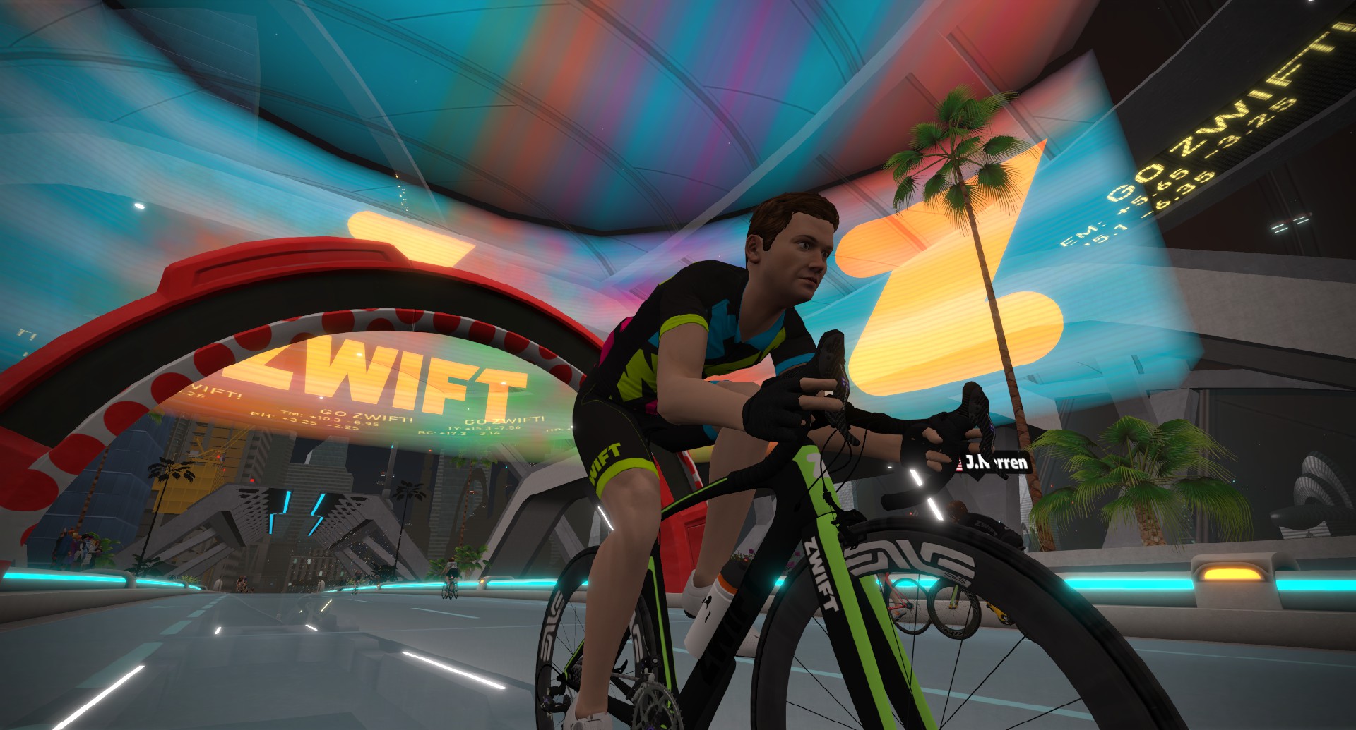
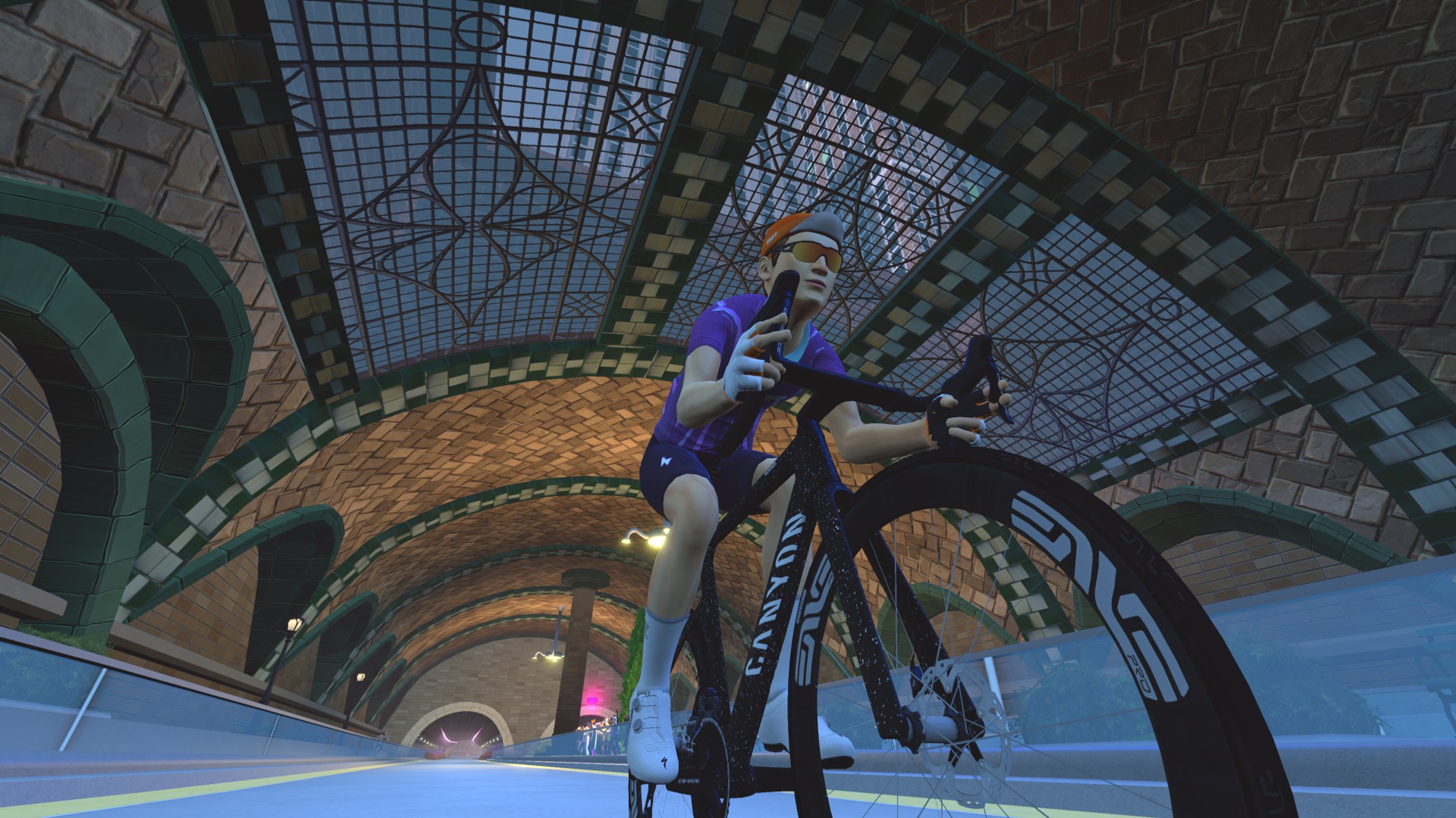
Then it’s time to head south on the new roads launched in October 2025. You’ll travel through the first of three subways, then around Zwift’s reimagined Times Square. Then you’ll enter the brick-lined City Hall Station subway before climbing up and out to cross the East River via the Manhattan Bridge.
After descending from the bridge, you’ll loop around and cross back over the river via the Brooklyn Bridge, before coming across once more on the Manhattan Bridge.
Whew. That’s a lot of bridges. But we’re in Brooklyn now, and almost finished!
Head through our final subway, then up to Grand Army Plaza before entering Prospect Park. You’ll ride a figure 8 of the park, then come out and ride around Grand Army Plaza to cover the last little bit of missed pavement on the Plaza’s roundabout.
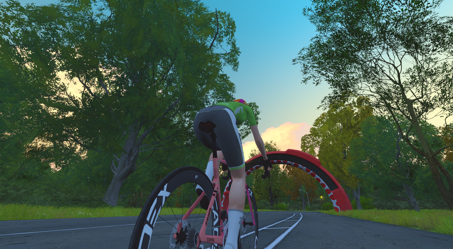
At this point, you’ve covered all of NYC’s roads. But we like to end these routes at a defined waypoint, so travel back into Prospect Park and turn left to ride through the KOM banner. That’s the official finish line for the Strava segment.
Turn By Turn Directions
Be warned: this route has a lot of turns. You may want to print out a cue sheet.
Begin by choosing The Highline route, which starts you on the glass roads just before the start of our Strava segment.
- Right to Sky Loop
- Left to Sky Loop
- Straight (Right) to KOM Arch
- Left to KOM Arch
- Straight (Left) to KOM Arch
- Left to Park Loop
- Left to Park Loop
- Left to Park Loop
- Left to Park Loop
- Left to Bethesda Plaza
- Right to Park Loop Reverse
- Right to The Baseball Fields
- Left to Park Loop
- Left to Park Loop
- Straight (Right) to Sky Loop
- Straight (Right) to Sky Loop
- Left to Sky Loop
- Straight (Right) to City Rooftops
- Straight (Right) to Park Loop
- Left to Park Loop
- Left to The Baseball Fields
- Right to Park Loop Reverse
- Right to Bethesda Plaza
- Left to Park Loop
- Straight (Right) to Park Loop
- Right to Times Square
- Straight (Left) to Manhattan Bridge
- Left to Times Square Circuit
- Right to Manhattan Bridge
- Right to Manhattan Bridge
- Straight (Left) to Manhattan Bridge
- Right to Brooklyn Bridge
- Right to Manhattan Bridge
- Straight (Left) to Prospect Park
- Right to Prospect Park
- Left to Peristyle Sprint
- Right to Central Dr
- Left to Prospect Park Loop
- Left to Central Dr
- Right to Brooklyn Bridge
- Left to Brooklyn Bridge
- Left to Prospect Park
- Right to Prospect Park
- Left to Peristyle Sprint
Route details:
Distance: 57.8km (35.9 miles)
Elevation Gain: 596m (1956′)
Strava Segment
Fuhgeddaboudit Note
New York actually already has a “full map” route. Well, almost. Fuhgeddaboudit covers every bit of road on the map… except for Prospect Park’s Central Drive. My hunch is this is actually a bug in the route design, and the intention was to cover every road. They just missed one turn near the end of the route!
Besides the Central Drive problem, Fuhgeddaboudit has another issue: at 79km, it’s much longer than it needs to be if your goal is to ride every bit of road in the shortest ride possible.
Rebel Route Suggestions
Got an idea for a great Rebel Route? Share it below and maybe we’ll publish a post about it!
