Radio Tower KOM (Watopia) Zwift Segment Details

Key Details
- Length: 1.16 km (0.7 miles)
- Elevation Gain: 150 m (492‘)
- Average Gradient: 12.8%
- Found in Watopia
- In-Game Name: Radio Tower KOM
- Strava segment
- ZwiftPower Leaderboard
The climb to the radio tower was added as part of the Epic KOM expansion in March 2016, and it quickly became Zwift-famous (Zwinfamous?) for its super-steep grade that is made even more challenging by a slow-rolling ice/snow road surface.
It wasn’t until June of 2024 that this became an official KOM segment. The “Power to the Tower” route became the first to end atop the Radio Tower KOM, but we’ll surely see others in the future.
The Radio Tower KOM’s average gradient of 12.8% puts it head and shoulders above any other climb in Zwift in terms of pure steepness. The next steepest climb? Richmond’s 23rd Street KOM at 9.3%, and the Radio Tower KOM is more than 4x longer!
Routes Featuring this KQOM
| Route | Length | Elevation | Lead-In |
|---|---|---|---|
| Mountain 8 | 32.1 km (19.9 miles) | 691 m (2,267‘) | 0 km ( miles) |
| Mountain Route | 29.6 km (18.4 miles) | 682 m (2,238‘) | 0 km ( miles) |
| Muir and the Mountain | 33.9 km (21.1 miles) | 793 m (2,602‘) | 5.1 km (3.2 miles) |
| Power to the Tower | 43.8 km (27.2 miles) | 1494 m (4,902‘) | 0.9 km (0.6 miles) |
| Radio Rendezvous | 20.4 km (12.7 miles) | 728 m (2,388‘) | 3.1 km (1.9 miles) |
| Shorelines and Summits | 46.1 km (28.6 miles) | 776 m (2,546‘) | 4.1 km (2.5 miles) |
| The Pretzel | 72.9 km (45.3 miles) | 1362 m (4,469‘) | 0 km ( miles) |
| The Über Pretzel | 128.3 km (79.7 miles) | 2335 m (7,661‘) | 0.5 km (0.3 miles) |
| Three Sisters | 48 km (29.8 miles) | 897 m (2,943‘) | 0 km ( miles) |
| WBR Climbing Series | 43.4 km (27.0 miles) | 1118 m (3,668‘) | 0 km ( miles) |
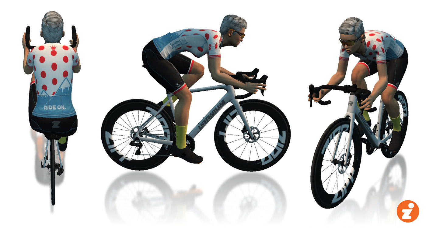
Leader’s Jersey

A word about accuracy: as much as possible, we’ve used Zwift’s in-game numbers for the segments listed. Strava data may differ slightly.