
“Navig8” Route Details (Watopia)

Added to Watopia in September 2024, Navig8 isn’t so much a figure 8 as it is two loops connected by a long stretch of road.
The larger upper loop is Watopia’s Waistband, while the smaller, hillier lower loop is a common one we’ve seen in other routes: the western portion of the southern coast road plus the Mayan Mountainside and Itza KOMs, ending with a descent on the bottom half of The Grade.
Route Basics
Length: 63.9 km (39.7 miles)
Elevation: 417m (1,368′)
+2.3km (1.4 miles) lead-in with 6m (20′) elevation
Map: Watopia
ZIMetrics
Rating: 31.4/100 🛈
Time Estimates 🛈
lead-in + first lap
4 W/kg: 93 minutes
3 W/kg: 103 minutes
2 W/kg: 125 minutes
Start & Finish
Starts and ends at desert arch.
Format: Loop
Ride Achievement Badge: 1280 XP
Run Achievement Badge: none
Strava Segments
Route Description
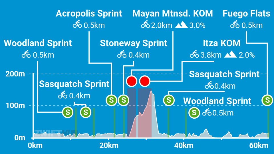
Route profile by ZwiftHub – the place to plan and track your route achievements!
We begin from the desert start pens in an event, or just before the desert arch if you’re free riding. Make your way across Fuego Flats, then turn at the LAX roundabout to take Watopia’s southern coast road. (You’ve finished the first bit of the Watopia’s Waistband loop, and the rest will have to wait until the end of the ride!)
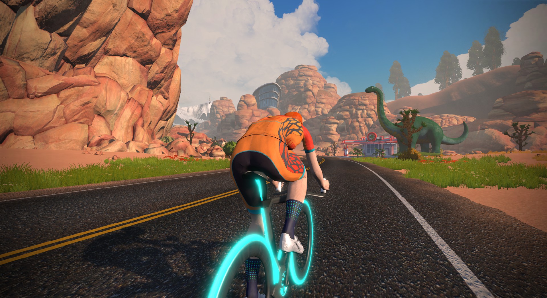
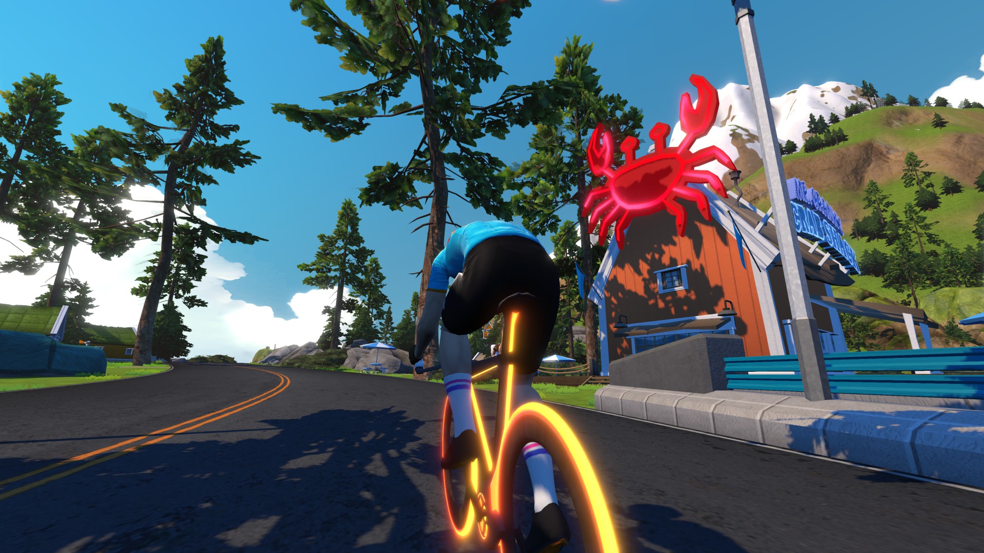
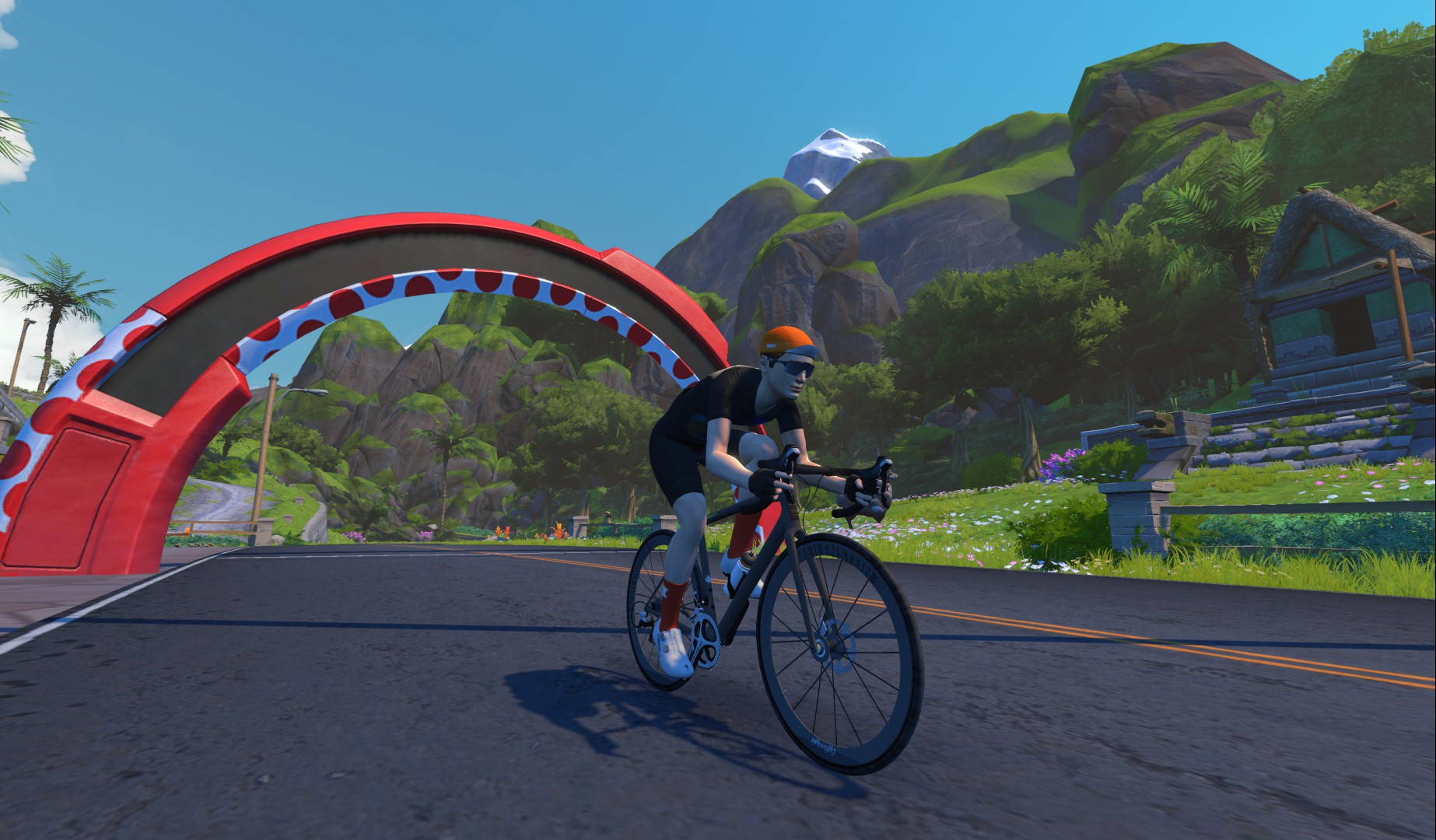
The rolling, twisting southern coast road takes you through four sprint segments: Woodland, Sasquatch, Acropolis, and Stoneway. Then a right turn takes you to the only significant climbing on this route, up the Mayan Mountainside KOM, followed quickly by the Itza KOM.
Finish those climbs, turn right again, and you’re on the steep, straight descent of the bottom of The Grade. You’ll leave the roundabout at the bottom and head back on the same southern coast road you came on in, hitting the Sasquatch and Woodland Sprints in the opposite direction before climbing back to Saddle Springs to get back on the Watopia’s Waistband loop for the remainder of your ride.
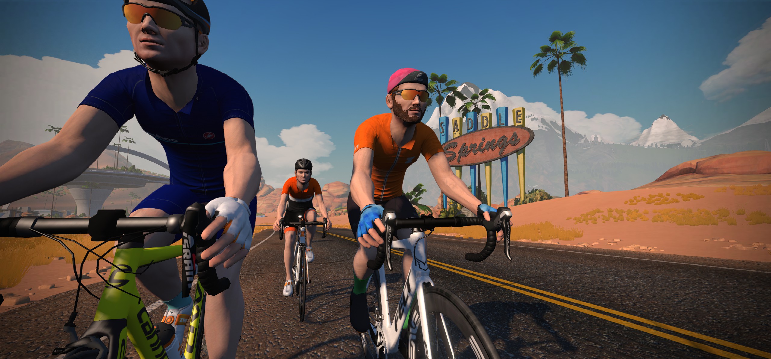
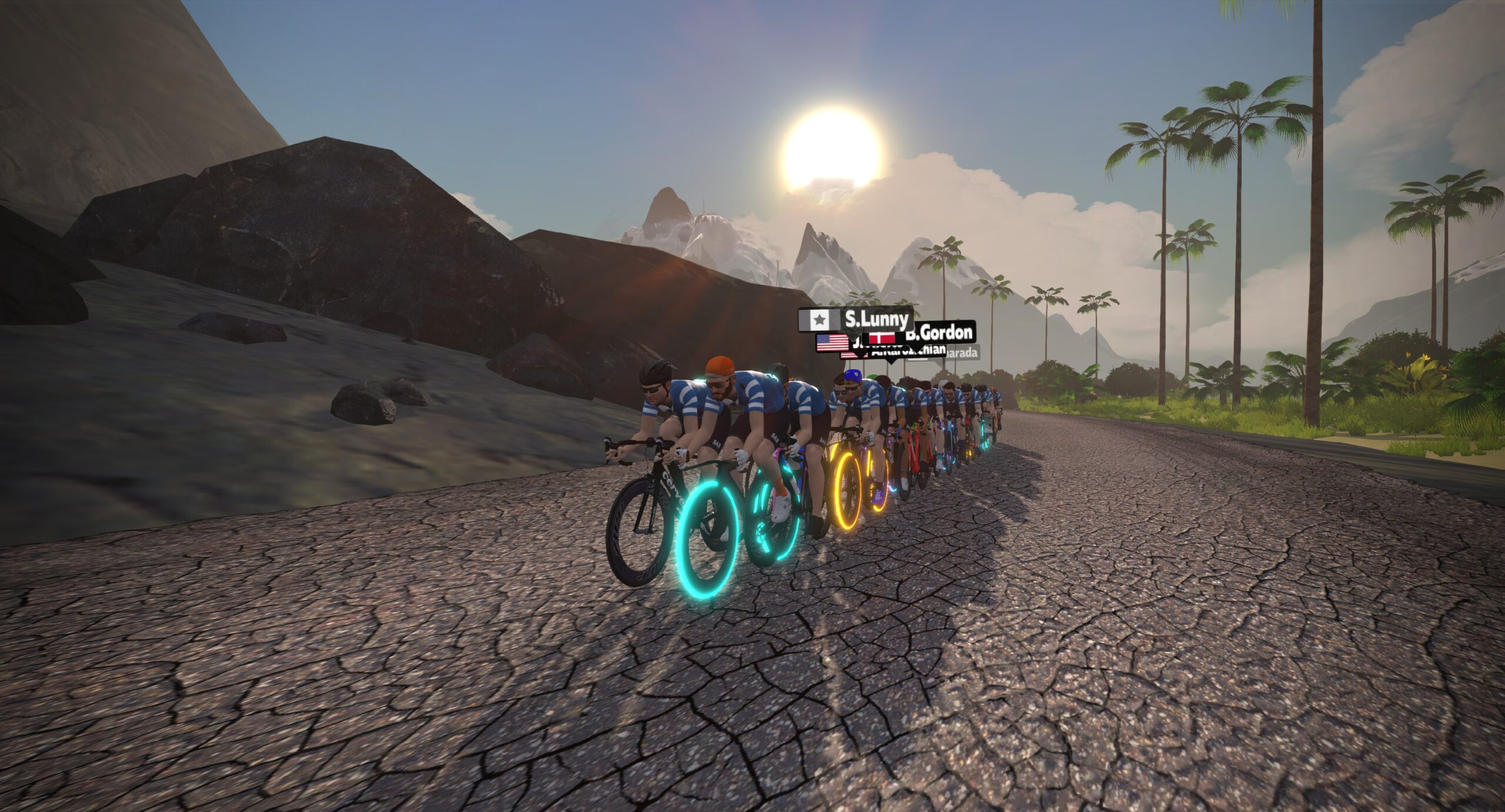
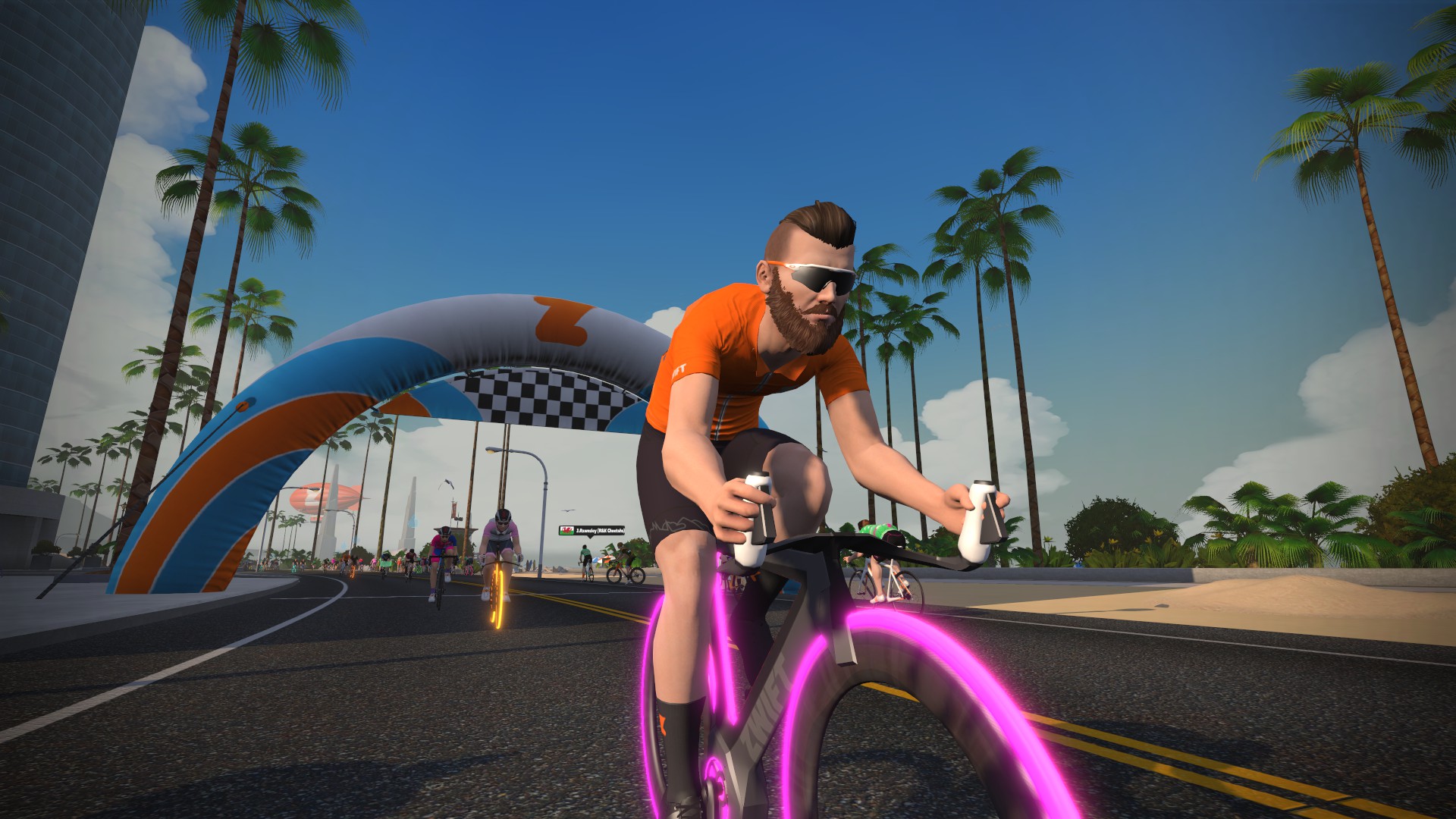
Up through the redwoods of Titans Grove, down to Ocean Boulevard, through the Fishing Village, and around the Volcano. You’re almost there! Zip through downtown Watopia, then make your way back up to the desert to finish at the rock arch. Nice work!
I had no idea how fresh this was but I did it today and it was the perfect distance/elevation combination I was looking for my workout, well done Zwift 👌
I guess I’ll give it a shot
Nice route – easier than it suggest. However. After. It hasn’t ticked off 1 of the 5 Route hunter challenge
None of the newest routes have been counting for September’s Route Hunter Mission
Great alternative to me doing 2x waistband or 2x Triple Flat Loops.
Gotta say I’m shocked by Zwift time description:
“90 min or less Duration for most riders”
which is 42.67 km/h or faster
It’s about time zwift gave avg times for Cat A, B, C, D.
Fyi for me it took 122 mins at 31.6 km/h (148W avg)
Congratulations Zwift Insider I see you have included times for various abilities 👍👏
Yup. Just added this week!
Let me guess… you weigh 61-62kg?
Hi Eric that’s the weight I should be I might be able to compete with you in Cat B at my racing weight hehehe.
Alas I’m overweight 75 kg (I don’t know if you saw this bit in my post
“Fyi for me it took 122 mins at 31.6 km/h (148W avg)”
Aero bike given the majority of it is either flat or rolling hills, I’d guess. Shame I’m working on upgrading my climbing bike.
Have they changed some of the routes lately? Both here and in the Companion App it’s down as 66.8km (with the lead-in) but I just finished it and there is no lead-in, I completed the route and rolled passed the finish line at 64.27km. and there are a few other routes that have the same anomaly.
Usually when you do a route as a free-ride (and not as part of an event) then you are put at the start of the route and you don’t have to do the lead-in. The lead-in is usually just for events on that route. Does the explain it?
I will have to try and measure the distance from the start gates in the desert to the fuego flats line to see if the distance matches, but I guess that tracks.
Lead in from start pens is 2.3km.