
Chapman’s Peak (Western Cape) Zwift Video Route Details
Route Basics
Length: 11.4 km (7.1 miles)
Elevation: 183m (600′)
Location: Western Cape
Zwift Plus required
ZIMetrics
Rating: 6.6/100 🛈
Time Estimates 🛈
4 W/kg: 19 minutes
3 W/kg: 21 minutes
2 W/kg: 26 minutes
Ride Achievement Badge: 230 XP
Strava Segments
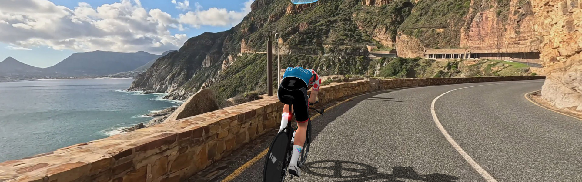
Chapman’s PeakChapman’s Peak Drive, or “Chappies,” is one of the world’s great coastal roads, though its name has a modest origin. In 1607, an English ship was stranded off what is now Hout Bay, and the skipper sent his pilot, John Chapman, ashore to look for supplies. The bay was recorded as “Chapman’s Chaunce,” and the name stayed. Three centuries later, convict laborers carved the road out of the cliffs.
For cyclists, Chappies is best known as the signature climb of the Cape Town Cycle Tour, the world’s largest individually timed bike race. At just 169 meters, Chapman’s Peak is the highest point on the route.
The full climb to the peak is about 4.5km at a gentle 4–5%, but it’s exposed to the wind. The cliffs can also be unstable: rockfalls shut the road in January 2000, and the Cycle Tour used an alternate route until 2003.
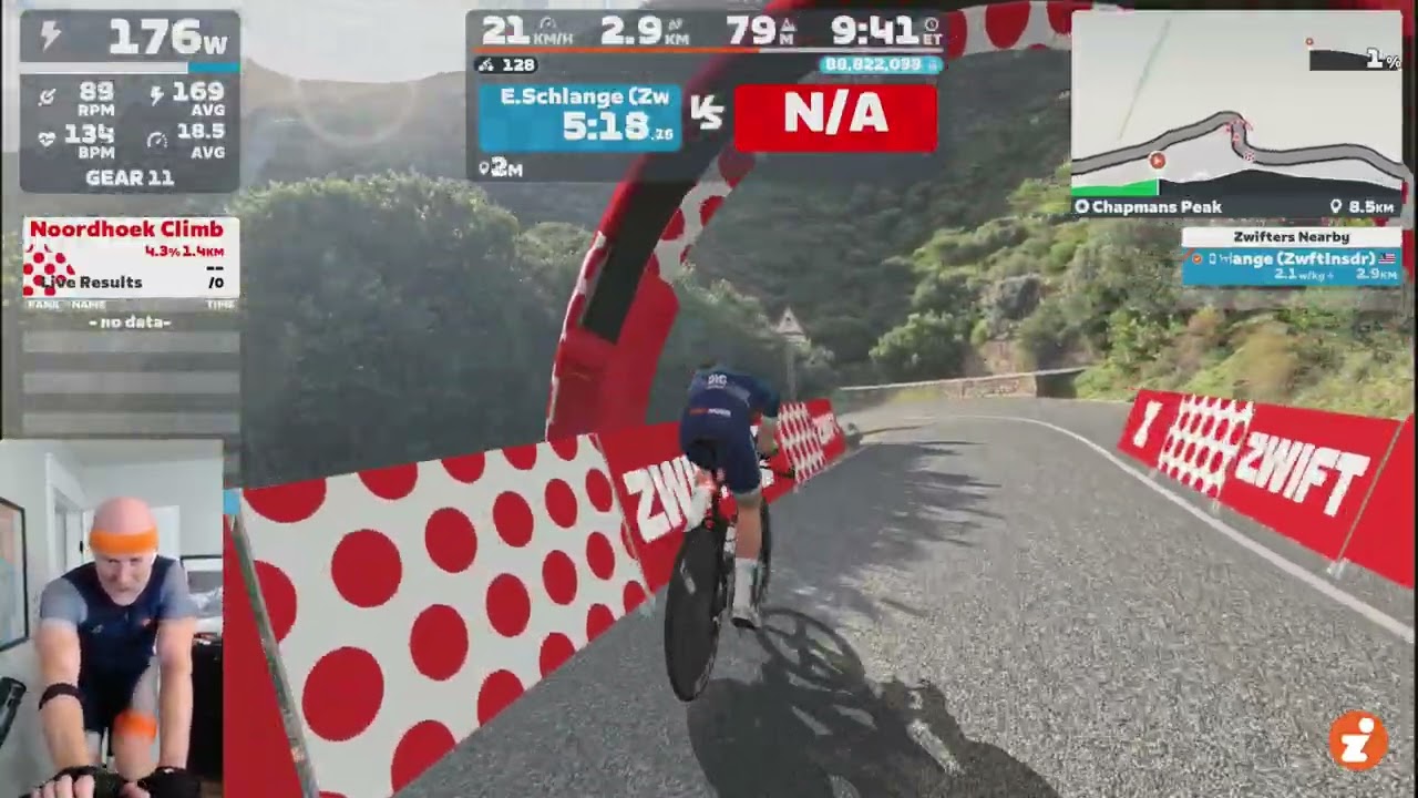
Ridealong Video
What is the surface type?
Smooth tar, no potholes.
What’s with the transition shortly after 9km?
I believe it’s a border or toll crossing. Security checkpoint of some sort? Probably made them turn off the cameras… or they had to stop so they had to snip that bit out.
No border crossings on Chapmans Peak. Its a toll booth. Income generated there is used to maintain the road surface and general maintainance of the route. “Chappies” as we locals call it, is a VERY popular route with cyclists.