
Arches National Park (USA) Zwift Video Route Details
Route Basics
Length: 29 km (18.0 miles)
Elevation: 687m (2,254′)
Location: USA
Zwift Plus required
ZIMetrics
Rating: 21.7/100 🛈
Time Estimates 🛈
4 W/kg: 56 minutes
3 W/kg: 65 minutes
2 W/kg: 86 minutes
Ride Achievement Badge: 580 XP
Prize Spinner Location:
Devil’s Garden arch @ 25.4km
Strava Segments
Arches National ParkLeaderboard Segments
Arches HQ (5.4%, 2.6km)Balanced Rock (4.0%, 6.9km)
Devil’s Garden (4.4%, 4.9km)
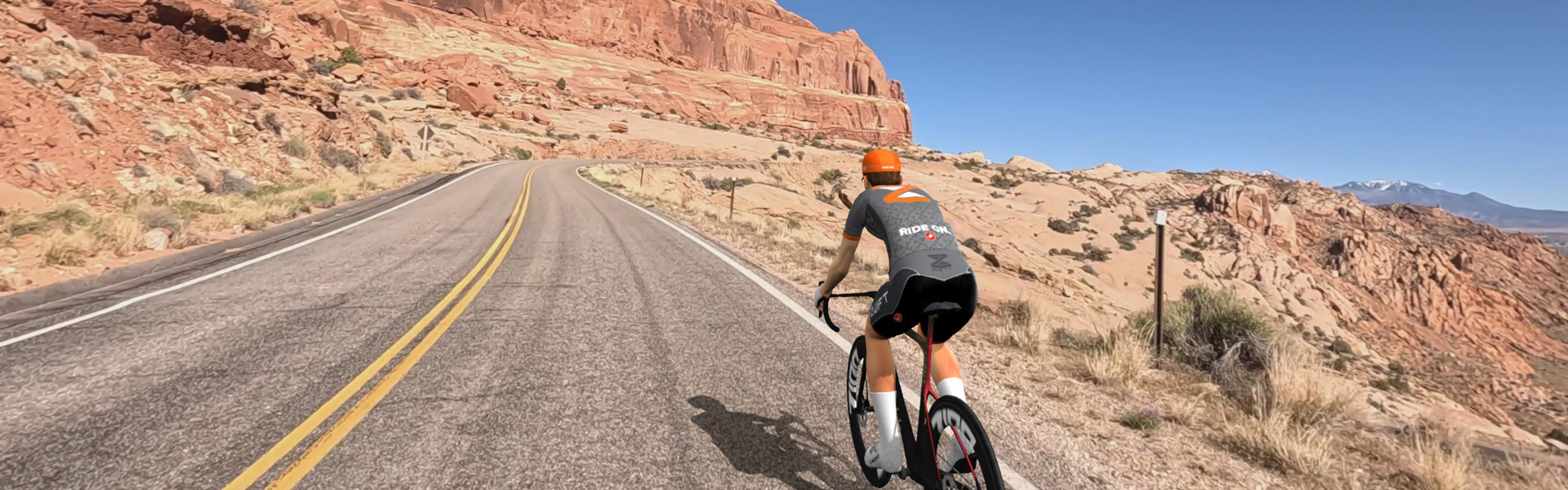
Journey through Arches National Park, surrounded by otherworldly red rock formations, sandstone arches, and panoramic views.
Ridealong Video
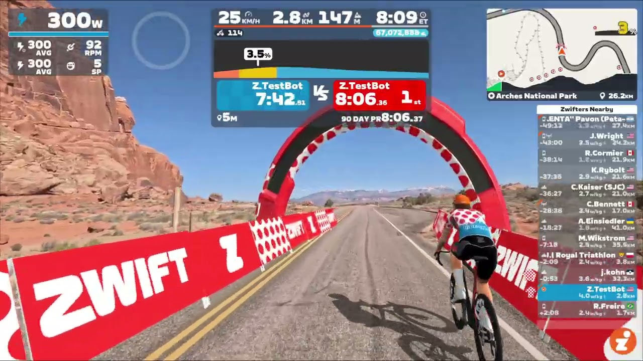
This is a great route for virtual cycling because the reality of riding this road is that it’s just very poor for cycling. Like lots of National Parks, zero shoulder, substantial traffic including many wide buses. Plus it’s often very hot and very exposed with little places to stop for water and a substantial distance. The downfall of this exact route, is that most of the places in Arches aren’t viewed from driving by on the road. You need to stop at parking lots and often walk a trail to see the arch. It’s still amazing, especially if you have never seen this kind of landscape, it’s just core sights probably aren’t well viewed this video. This would be interesting to have as MTB/gravel trails off the road to Delicate Arch for example, where cycling is prohibited in real life.