“Turf N Surf” Route Details (Makuri Islands)

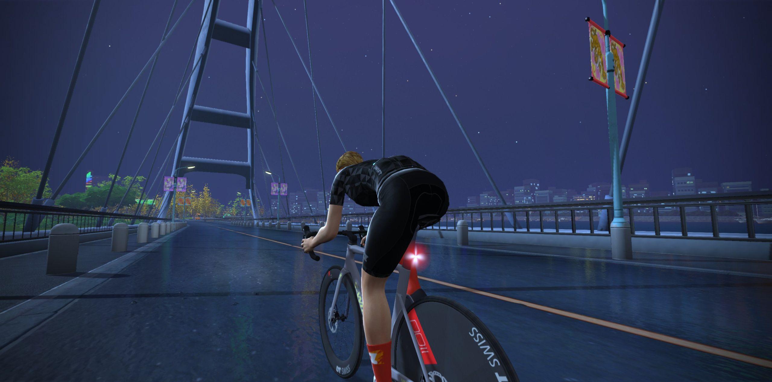
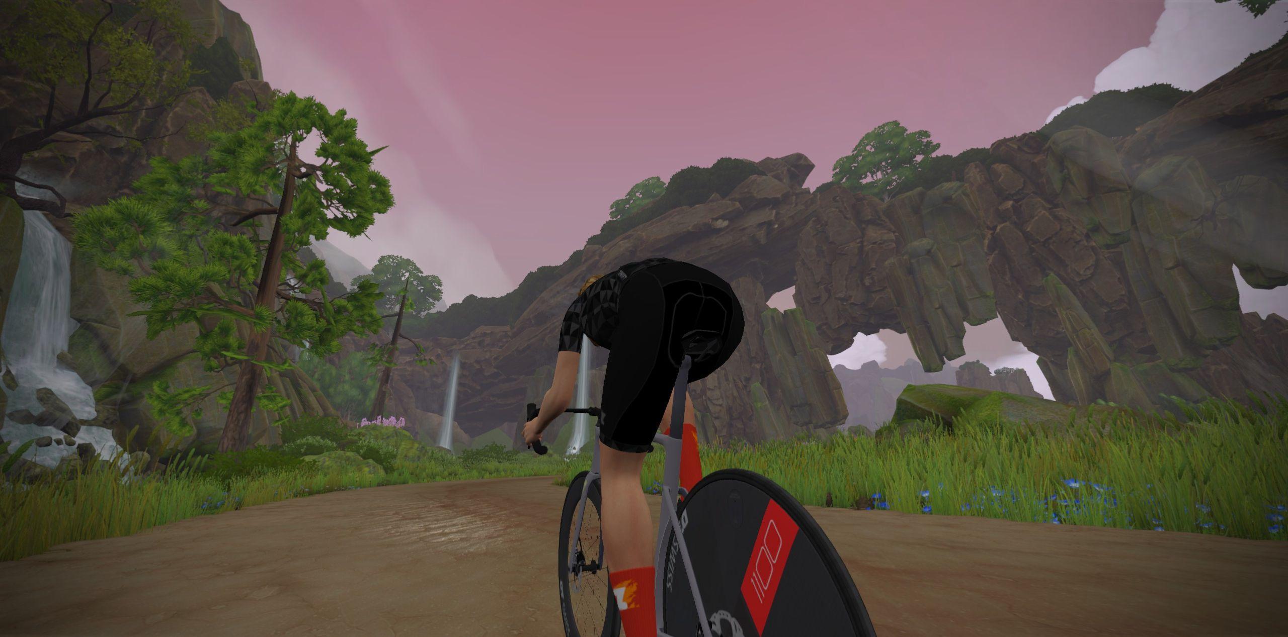
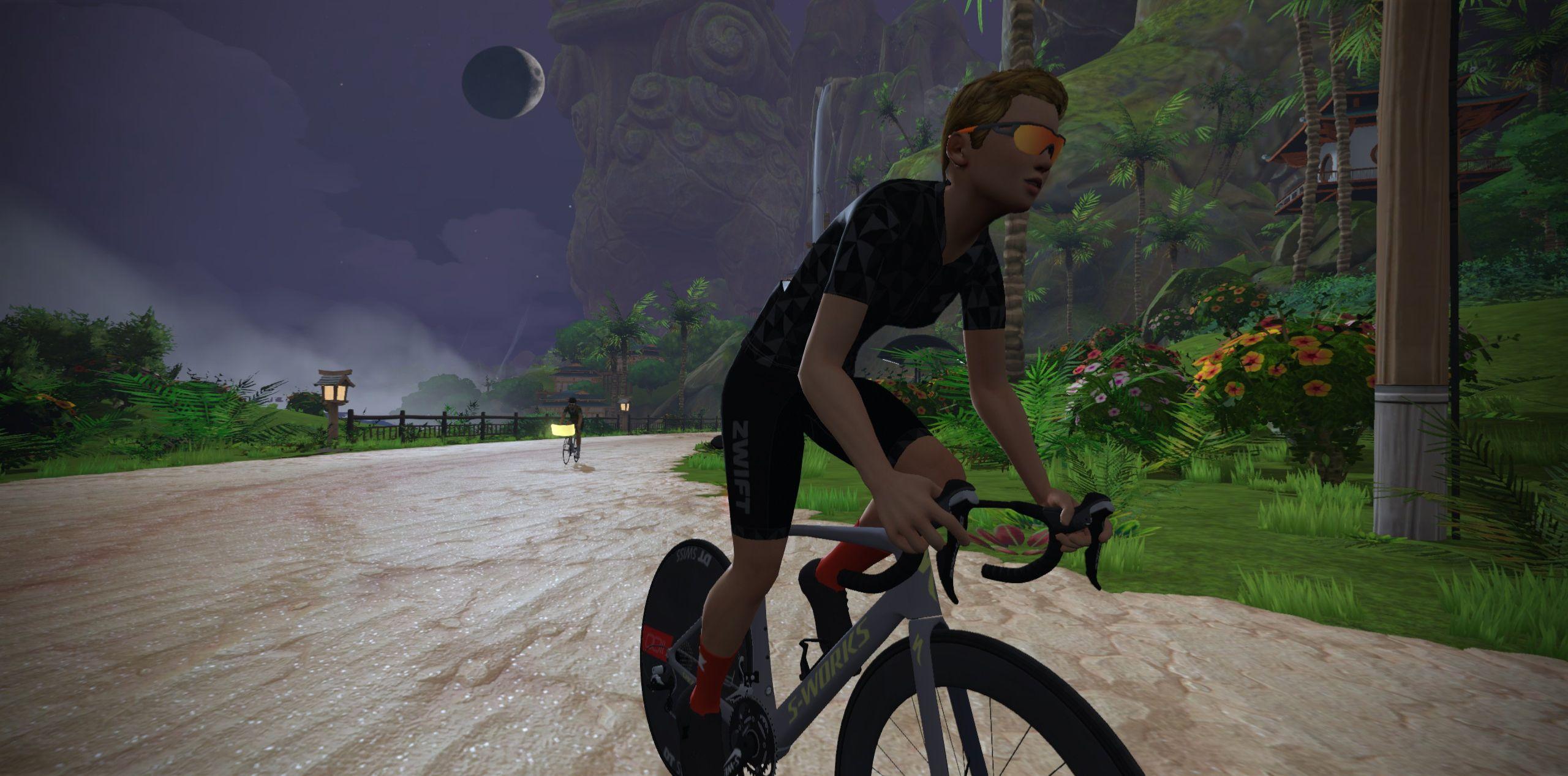
Ride through Neokyo’s urban permanight, then make your way through the slot canyon to Urukazi’s wild coastline before returning to Neokyo via the cavern road.
Ride through Neokyo’s urban permanight, then make your way through the slot canyon to Urukazi’s wild coastline before returning to Neokyo via the cavern road.
Route Basics
Length: 24.6 km (15.3 miles)
Elevation: 196m (643‘)
+0.1km (0.1 miles) lead-in with 2m (7‘) elevation
Map: Makuri Islands
ZIMetrics
Rating: 12.2/100 🛈
Time Estimates 🛈
lead-in + first lap
4 W/kg: 36 minutes
3 W/kg: 40 minutes
2 W/kg: 48 minutes
Start & Finish
Starts and ends at a virtual banner just south of the Neokyo Harbor start pens.
Format: Loop
Ride Achievement Badge: 490 XP
Run Achievement Badge: none
Leaderboard Segments |
| Alley Sprint @0.7km (0.48km, 0%) |
| Shisa Sprint @16.3km (0.29km, 0.7%) |
Strava Segments
Route Description
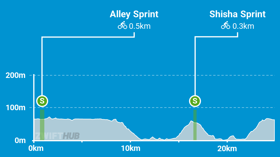
Route profile by ZwiftHub – the place to plan and track your route achievements!
This route is conceptually simple: a counterclockwise loop from Neokyo to Urukazi and back. And it starts off easily enough, too: the first 14.5km are essentially flat or downhill as you wind through Neokyo then descend the slot canyon and ride along the beach of Urukazi.
Your first challenge comes as you climb up to the Shisa Sprint. This short climb corkscrews up to the sprint segment where you’ll have a quick chance to take in the view from Urukazi’s highest road before zipping downhill to the boardwalk and across to Mangrove Maze.
After the Maze your next challenge awaits: we call it “Pain Cavern”. This massive cavern holds a 2.1km, 3% climb which is a decisive segment for any race on Turf N Surf. Finish the climb in the front pack and you’ve got just 1km of flat road to the line. Good luck!