“Kappa Quest Reverse” Route Details (Makuri Islands)

Introduced two months after Yumezi’s launch, Kappa Quest Reverse is simply the reverse version of Kappa Quest.
Introduced two months after Yumezi’s launch, Kappa Quest Reverse is simply the reverse version of Kappa Quest.
Route Basics
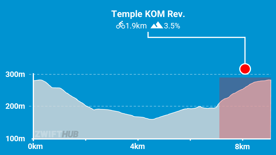
Length: 9 km (5.6 miles)
Elevation: 139m (456‘)
+5.1km (3.2 miles) lead-in with 131m (430‘) elevation
Map: Makuri Islands
ZIMetrics
Rating: 9.6/100 🛈
Time Estimates 🛈
lead-in + first lap
4 W/kg: 25 minutes
3 W/kg: 29 minutes
2 W/kg: 38 minutes
Start & Finish
Format: Loop
Ride Achievement Badge: 180 XP
Run Achievement Badge: none
Leaderboard Segments |
| Temple KOM Reverse (1.9km, 3.5%) |
Strava Segments
Bike Selection
A gravel bike will give you the most balanced advantage here. Choose a good climber!
Route Description
Route profile by ZwiftHub – the place to plan and track your route achievements!
This route has very little flat road to speak of. Your ride begins with a long lead-in up to the Mystical Tree. This takes you up the Temple KOM reverse, meaning you’ll do a fair amount of work before the actual route even begins!
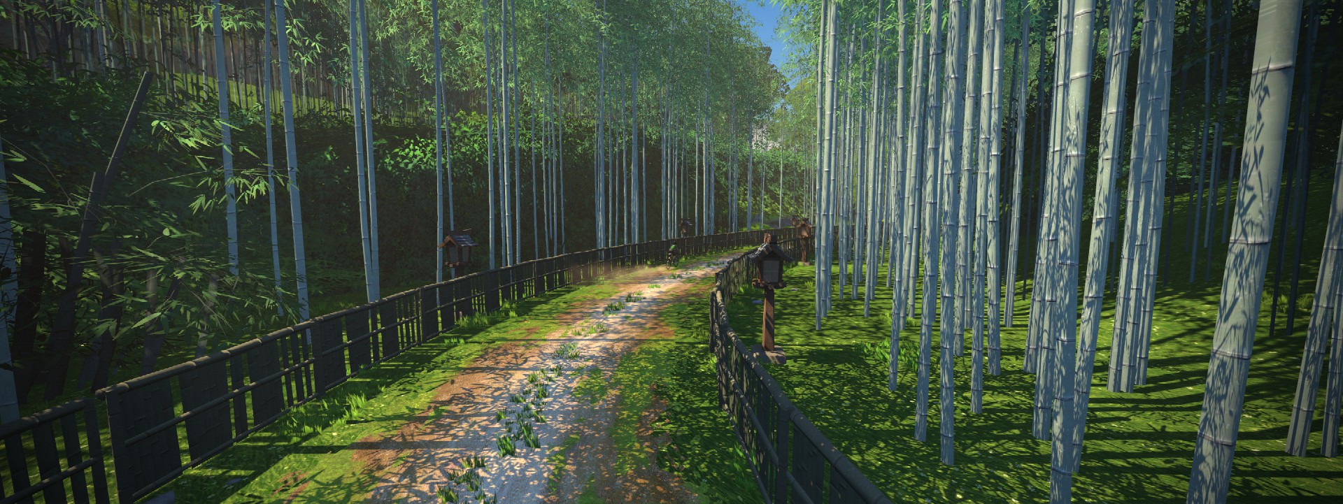
The Kappa Quest Reverse route starts at the KOM banner inside the Mystical Tree. Descend through the jungle, and when you get to the bamboo forest you know you’re almost to the end of the dirt descent. The paved road continues downhill, though, and you don’t start going up until you hang a left onto the dirt road up through the Golden Forest.
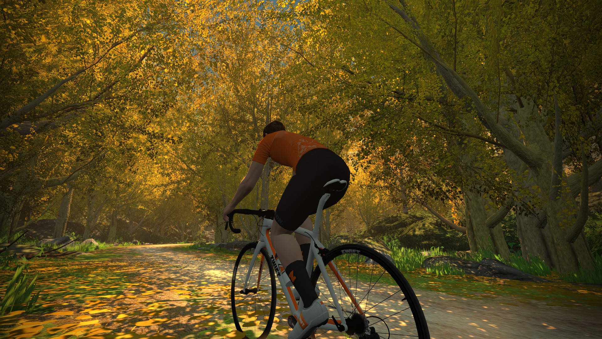
Enjoy the beautiful riverside trail, then turn onto the pavement once more to make your way down to the Castle Area, where you’ll turn left onto the dirt once again to start climbing the Temple KOM reverse. The route ends at the Mystical Tree.