
“Glyph Heights” Route Details (Watopia)

Up up up! After a flattish lead-in, this loop front loads lots of climbing, beginning with the Itza KOM, progressing to the upper half of The Grade, and finishing on the final portion of the Epic KOM! A long descent follows, but the loop ends on a climb, finishing at the Mayan Mountainside KOM banner.
Route Basics
Length: 25.3 km (15.7 miles)
Elevation: 537m (1,762′)
+8.6km (5.3 miles) lead-in with 81m (266′) elevation
Map: Watopia
ZIMetrics
Rating: 21.3/100 🛈
Time Estimates 🛈
lead-in + first lap
4 W/kg: 58 minutes
3 W/kg: 65 minutes
2 W/kg: 85 minutes
Start & Finish
Starts with a lead-in from the coastal pens. with official route loop beginning and ending at the Mayan Mountainside KOM banner.
Format: Loop
Restriction: Level 10+
Ride Achievement Badge: 510 XP
Run Achievement Badge: none
Strava Segments
Route Description
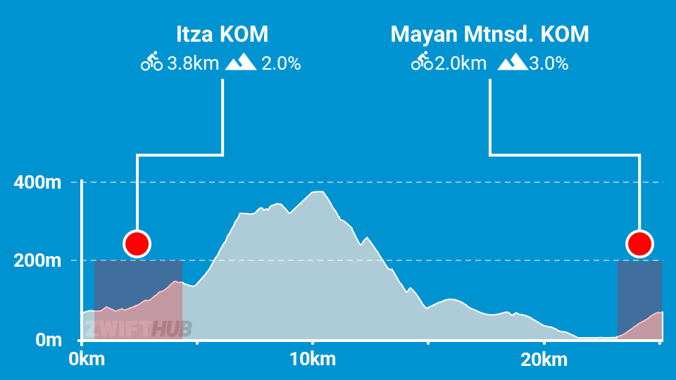
Route profile by ZwiftHub – the place to plan and track your route achievements!
This route begins in the coastal pens for events, or just outside Ciudad la Cumbre when free riding. Either way, you’ve got a solid lead-in before the actual loop begins, riding a total of 8km along the southern coast and up the Mayan Mountainside KOM to the start/finish banner!
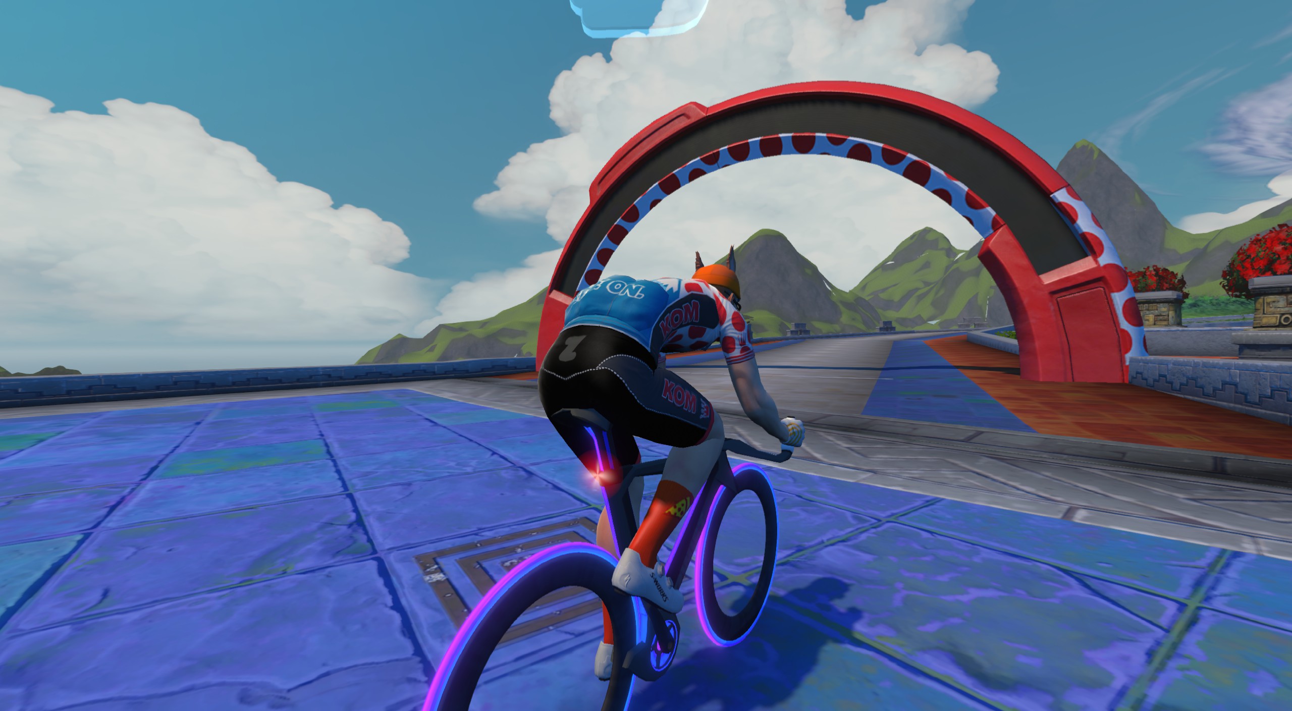
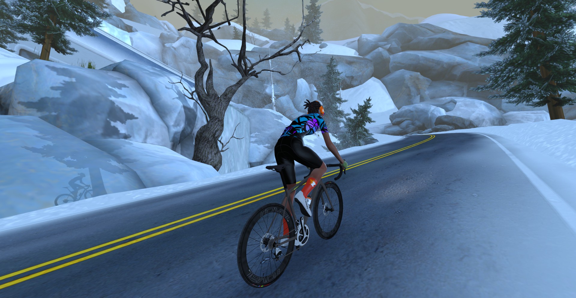
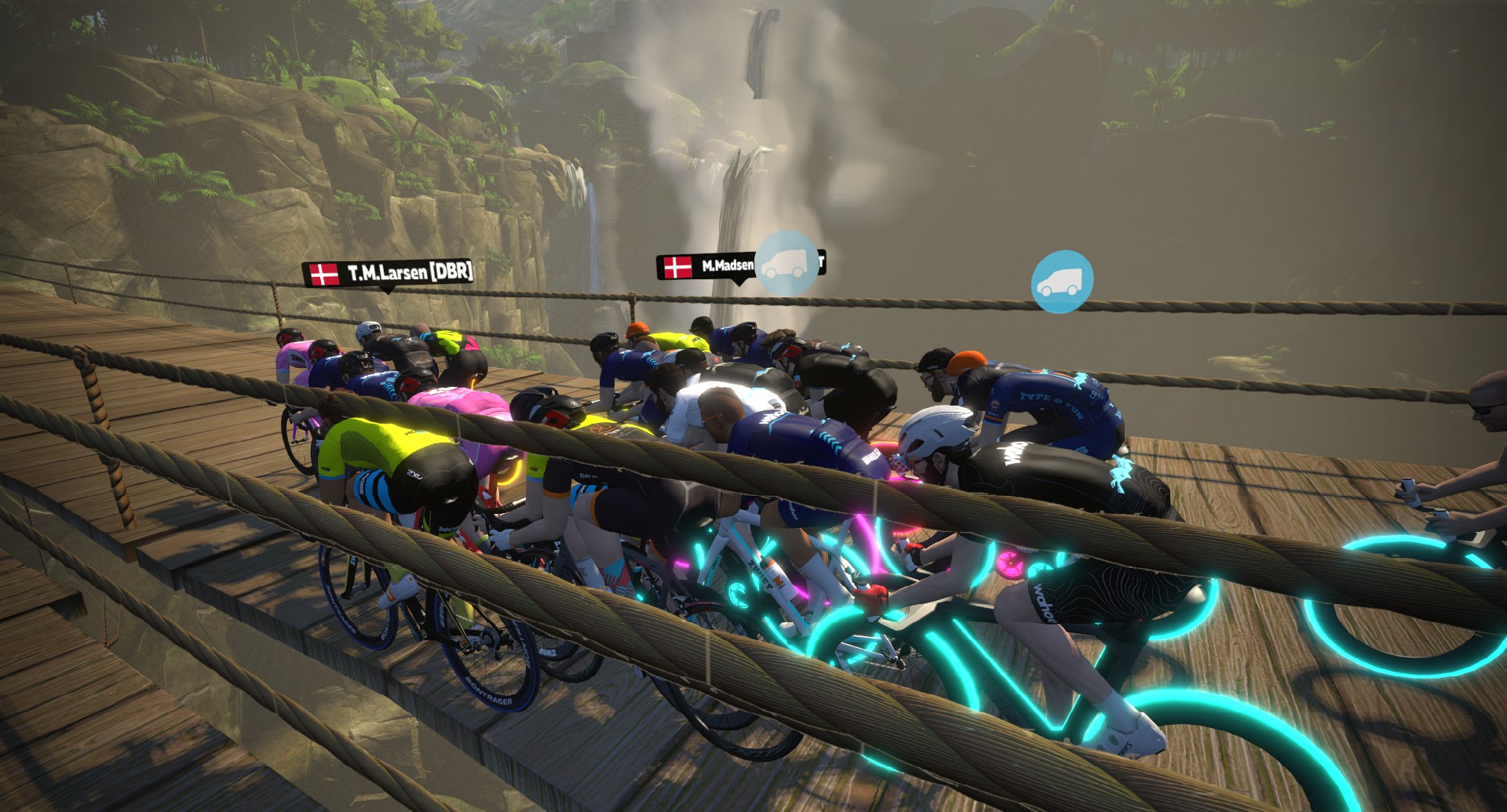
From there you’ll continue on up the Itza KOM before turning left onto the twisty upper portion of The Grade, which is the steepest single section of climbing on this route. The climbing isn’t done once you finish this portion, though – you’ve still got to knock out the remainder of the Epic KOM!
Then you get a bit of a reprieve descending the backside of the Col du Zwift into the Mayan Jungle, where your descent continues, but in a more dusty fashion. A left onto the southern coast road at the bottom of the jungle, then another left onto the Mayan Mountainside KOM, and you’ve got just this one final climb segment left. Push it to the line, and when you ride through that banner you’ve finished your loop!
Zwift reckons is this less than 60mins – I usually complete all the routes in less time than the suggested time; don’t be fooled – this took me 1hr 40mins.
I did it as part of a group interval ride, but we didn’t have any extended rests and so our average speed would have been faster than solo, and it still took 66 minutes at 2.7w/kg
Opened the article to post the same thing. Route took me a little over an hour in a Z2 workout at a constant 3.3w/kg. Not sure what w/kg Zwift uses to estimate what most riders finish a route in but I doubt it’s anywhere close.
My guess is they estimated it based on the route length, not including the lead-in. I’ll let them know…
Also meetups on this route stop you waay short still in the jungle
so, stay on road to accomplish the “Tour the zwift ” Goal ?
62 min for me today with 215 watts average…
Incl. the lead-in
The length listed above is 25.4 km. Should that not be 33.4 km, so that it includes the lead-in? In the game, the total ride is 33.4 km.
Also, I agree with S. Ross. This seems to longer than <60 minutes. Tides and Temples is similar in length, lower total elevation, and listed as <90 minutes.
We always show the actual route length separate from the lead-in length.
Misleading…but your site, your call. Everyone reads the distances to workout approximate ride time and then gets blindsided by a 15 minute lead in.
Joined a group ride for fun and exercise and to get the new route badge. Wasn’t the route I thought it was, blew up in the first 45 minutes was quite testing – 1 hours 40 minutes, completely crushed. Very challenging for me. I will try it again with more understanding, hopefully more endurance.
This one was a challenge.
I just did this as part of the Zwift Ultimate challenge 2026 and I can confirm your comment is accurate. The route ending with 1.5 miles of additional climbing AFTER coming out of the jungle is such a slap in the face lol.
This is one not to be repeated anytime soon.
if you are doing the route solo, pick the lightest climbing bike and wheelset you have and after you hit the epic KOM banner switch to a TT bike and deepest wheels for the downhill.
A Strava segment from the beginning of Mountainside KOM and ending at the top of Epic KOM would be nice. That stretch of Mountainside, Itza, second half of The Grade, and the last bit Epic is a good challenge.
After doing the bonus climb I seem to have lost my way on this route. Did 35.4km and 692m, stopped when I reached Downtown after 85 minutes. Where did I go wrong?
Elsewhere I read that the bonus climb takes you off course. If you want to do the bonus climb you must first pass some waypoint at the top of the KOM then go back to do the bonus climb.
But I haven’t tried it. Yet.
the companion app show only 2 segments for this route.
Yeah, it may be that Zwift doesn’t show the lead-in. I’ll ask.