Dos d’Âne Sprint (France) Zwift Segment Details
Key Details
- Length: 0.75 km (0.5 miles)
- Elevation Gain: 11 m (36‘)
- Average Gradient: 1.5%
- Found in France
- In-Game Name: Dos d'Âne Sprint
- Strava segment
- ZwiftPower Leaderboard
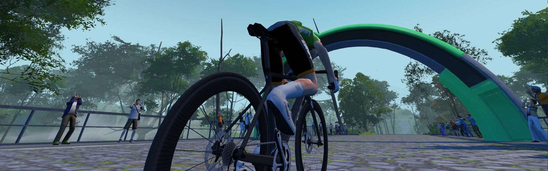
This technical and long sprint is fully cobbled, so you’ll need to pace yourself accordingly.
It begins slightly downhill, then heads into its longest uphill section which is followed by a quick descent into a second uphill which flattens as you approach the finishing arch.
You’ll get your fastest overall time by hitting the uphills hardest and easing slightly on the descents. But don’t ease too much if you’re hunting for green!
Routes Featuring this Sprint
| Route | Length | Elevation | Lead-In |
|---|---|---|---|
| Gentil 8 | 23.1 km (14.4 miles) | 243 m (797‘) | 0.6 km (0.4 miles) |
| Hell of the North | 19.8 km (12.3 miles) | 241 m (791‘) | 0.3 km (0.2 miles) |
| Peaky Pavé | 30.6 km (19.0 miles) | 369 m (1,211‘) | 0.2 km (0.1 miles) |
| Sacre Bleu | 71.2 km (44.2 miles) | 396 m (1,299‘) | 0.5 km (0.3 miles) |
| Three Musketeers | 35.2 km (21.9 miles) | 193 m (633‘) | 2.6 km (1.6 miles) |
Leader’s Jersey

A word about accuracy: as much as possible, we’ve used Zwift’s in-game numbers for the segments listed. Strava data may differ slightly.