“Mech Isle Loop” Route Details (Makuri Islands)

The shortest route in the Urukazi map, Mech Isle Loop takes you on a quick circuit of Mech Isle. What do they do here, anyway? It’s all a bit hush-hush, but the gigantic robo-parts seen here and there would indicate that the island lives up to its name.
The shortest route in the Urukazi map, Mech Isle Loop takes you on a quick circuit of Mech Isle. What do they do here, anyway? It’s all a bit hush-hush, but the gigantic robo-parts seen here and there would indicate that the island lives up to its name.
Route Basics
Length: 4 km (2.5 miles)
Elevation: 39m (128‘)
+0.1km (0.1 miles) lead-in with 1m (3‘) elevation
Map: Makuri Islands
ZIMetrics
Rating: 2.1/100 🛈
Time Estimates 🛈
lead-in + first lap
4 W/kg: 6.1 minutes
3 W/kg: 6.8 minutes
2 W/kg: 8.4 minutes
Start & Finish
Virtual start/finish line just south of the start pens.
Format: Loop
Ride Achievement Badge: 80 XP
Run Achievement Badge: 80 XP
Sprint & KQOM Segments |
| None |
Strava Segments
Route Description
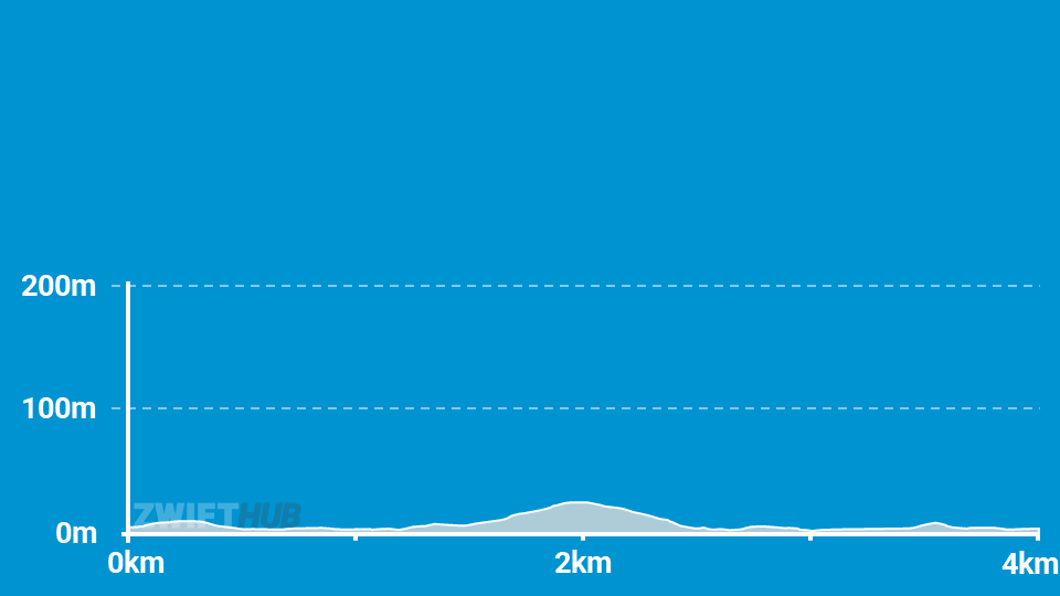
Route profile by ZwiftHub – the place to plan and track your route achievements!
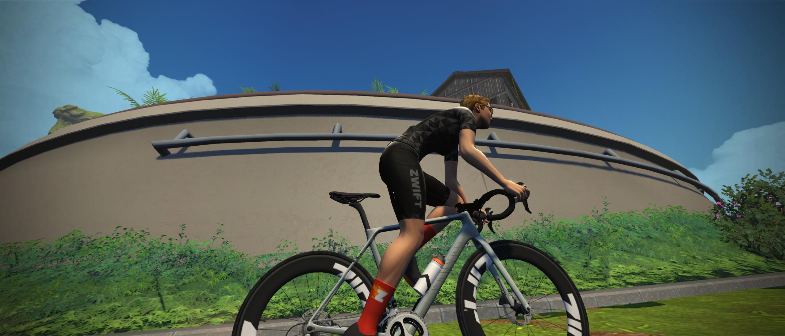
Many of the structures on Zwift’s Mech Isle take inspiration from the Aquapolis, built in Okinawa for Expo ’75. You’ll notice there aren’t any residential buildings, but plenty of industrial structures: this island is clearly the center for work in Urukazi.
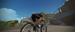
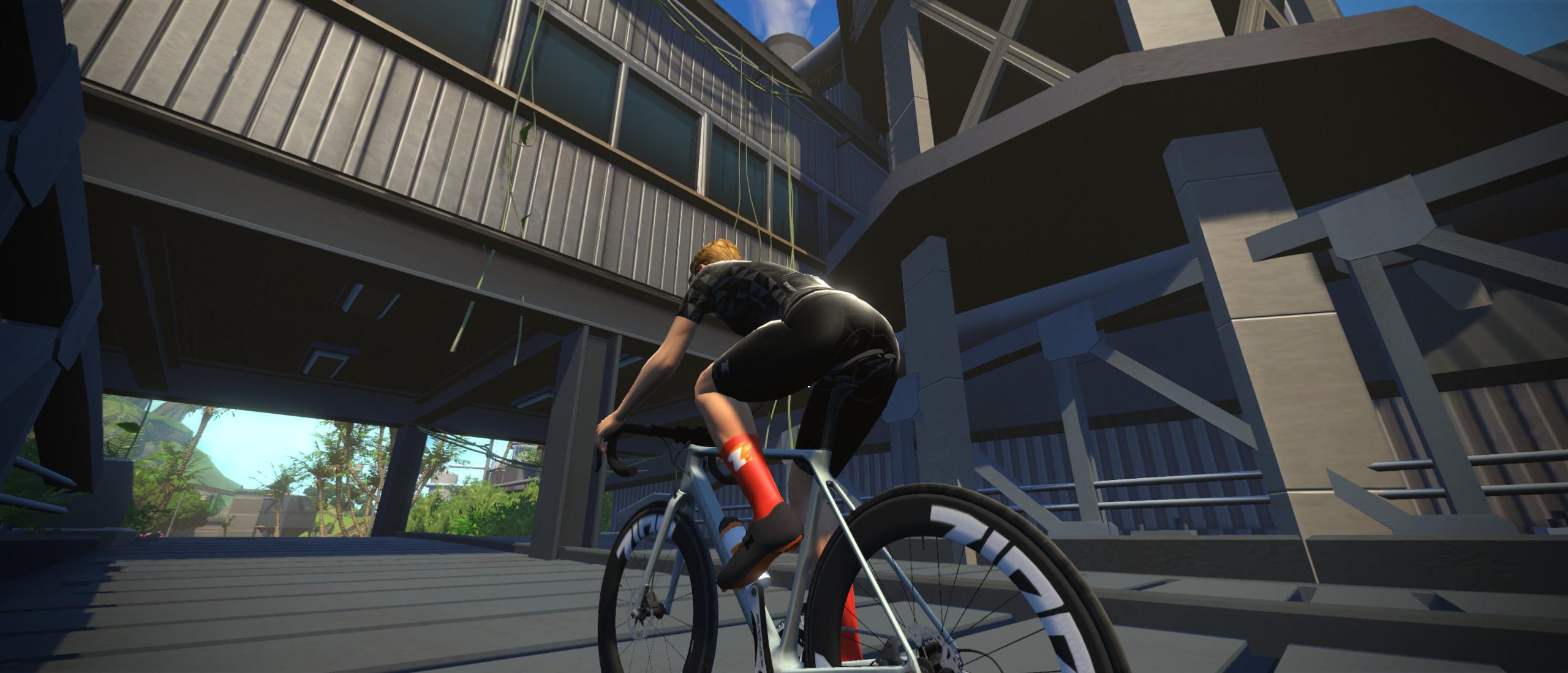
The Mech Isle Loop begins just past the start pens with a virtual banner – this will also be your finish line. As you ride, the paved road along the well-developed northern shoreline gives way to a dirt road on the “wilder” southern part of the island. This road then tilts upward, winding its way up the island’s main climb and ending at a bridge.
Then it’s a quick dirt descent back to pavement as you spin along the more developed northern shoreline, back to where you began.